
Saco do Mamanguá
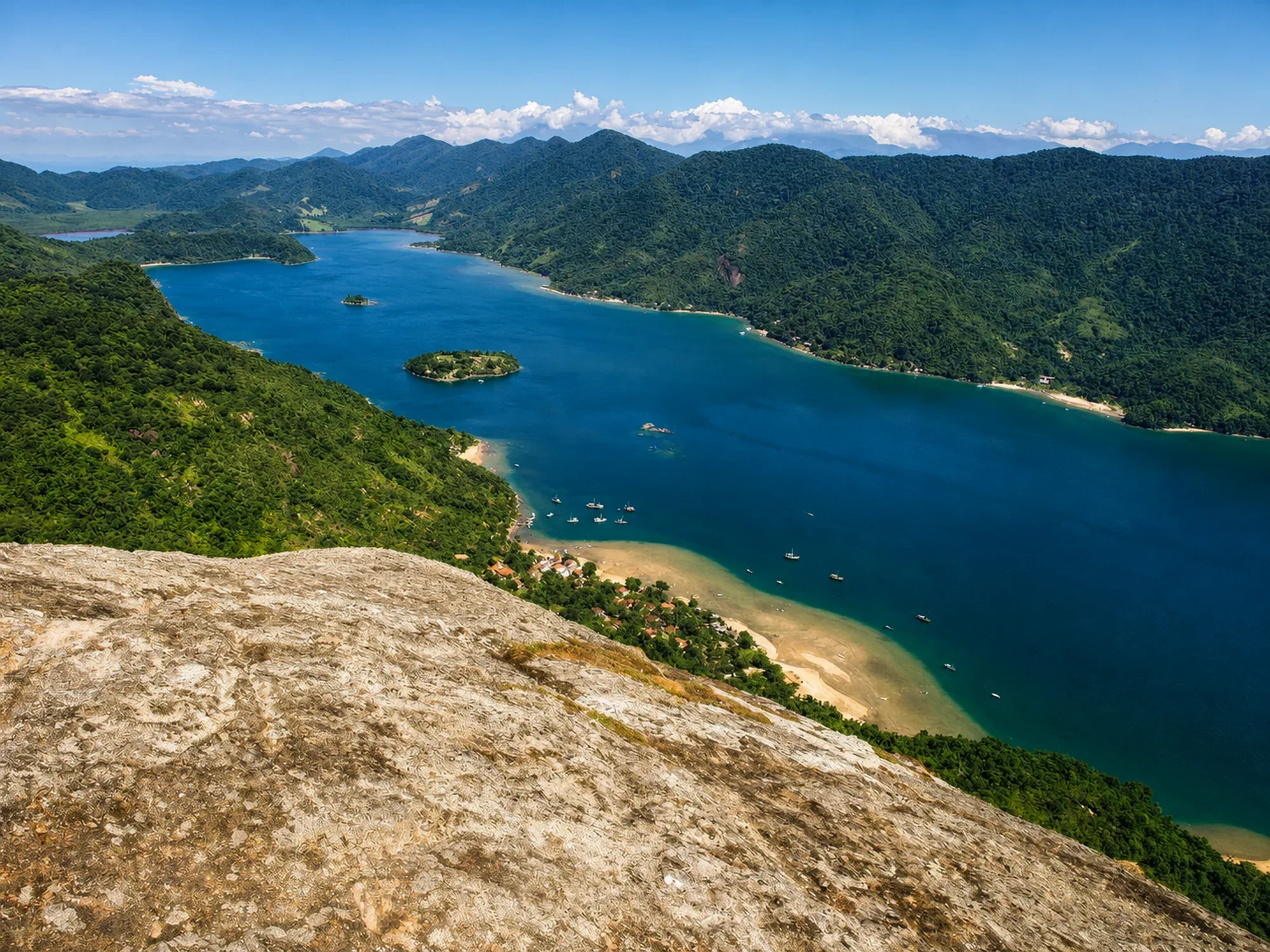
Unique geographic formation on the Brazilian coast — an 8 km long tropical fjord, surrounded by mountains covered in Atlantic forest that descend to the water.
- Easy
- East Coast — access via Paraty-Mirim (boat)
- East Coast
Saco do Mamanguá
Unique geographic formation on the Brazilian coast — an 8 km long tropical fjord, surrounded by mountains covered in Atlantic forest that descend to the water. The 33 internal beaches have calm, warm, emerald green waters. It is one of the most surprising scenes on the entire Costa Verde.
Saco do Mamanguá
Boat: from Paraty-Mirim (15 min) or Pontal (2h). Drive to Paraty-Mirim and board locally. Agencies in Paraty offer complete tours.
Saco do Mamanguá
Very calm, almost no waves — the relief of the mountains blocks the wind. Transparent and greenish waters. Excellent for kayaking, SUP, snorkeling and sailing.
Saco do Mamanguá
Caiçara communities along the route with basic food options. Camping on some internal beaches. Dadico restaurant (oysters) in the community of Pontal da Romana.
Saco do Mamanguá
April to October (less rain). Summer is hotter but with rain. Any month is valid for the boat trip.
Saco do Mamanguá
From Paraty-Mirim, the boat crossing takes 15 minutes (from Pontal, 2 hours). Negotiate directly with boatmen at Paraty-Mirim for tours inside the fjord.
Saco do Mamanguá
From Paraty-Mirim, the boat crossing takes 15 minutes (from Pontal, 2 hours). Negotiate directly with boatmen at Paraty-Mirim for tours inside the fjord. Bring strong sunscreen — the reflection in the water intensifies exposure. Kayak expeditions through Mamanguá are organized by Paraty agencies.
Saco do Mamanguá
Saco do Mamanguá is technically a ria — a river valley flooded by the sea — not a true fjord (which requires glacial formation). But the visual impact is comparable to the Norwegian fjords. The place is home to caiçara communities that have lived off fishing and crafts for centuries, without access by road.
Saco do Mamanguá
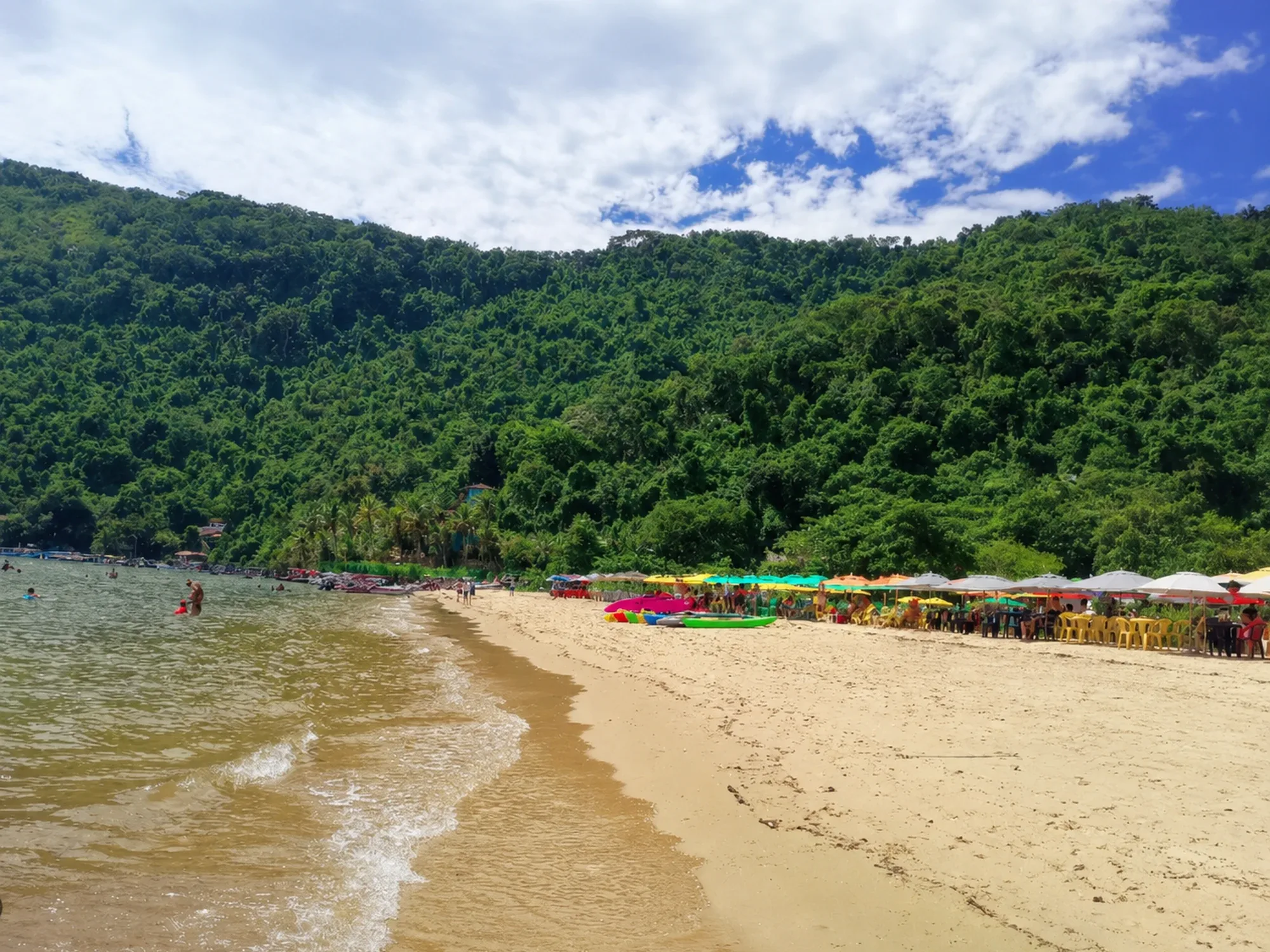
- Paraty-Mirim (boarding)
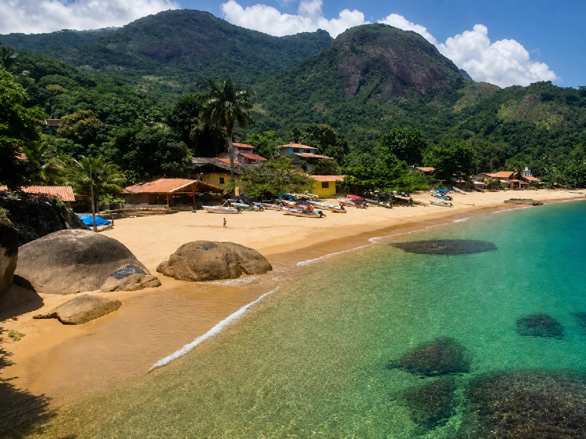
- Pouso da Cajaíba
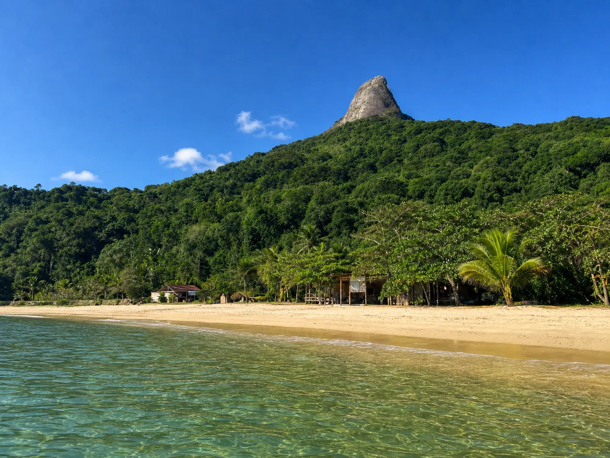
- Sugar Loaf Peak
- Juatinga Reserve
Saco do Mamanguá
One of the 5 most impressive places on the Brazilian coast. It's not a beach — it's a nature experience on a different scale. For any visitor profile: Mamanguá is a must-see.
Gallery
Nearby places
Distance is approximate and measured in a straight line.
Sugar Loaf Peak
Trails
Difficult
1.0 km
Paraty-Mirim
Beaches
Car
3.6 km
Pouso da Cajaíba
Beaches
Boat
7.0 km
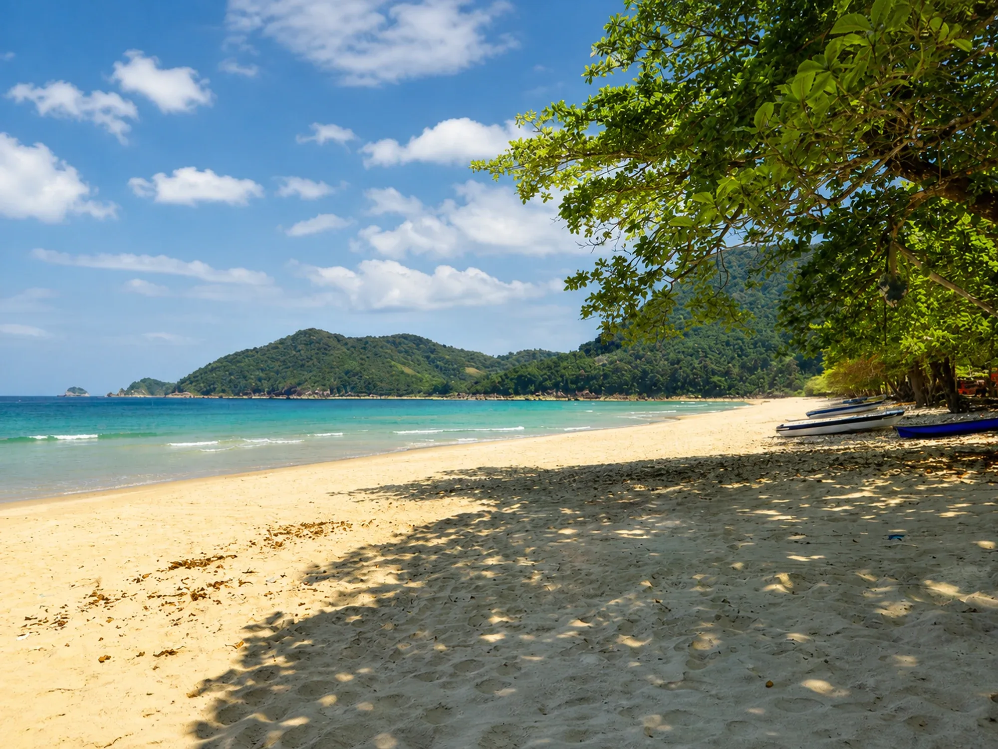
Praia do Sono
Beaches
By Trail
7.4 km
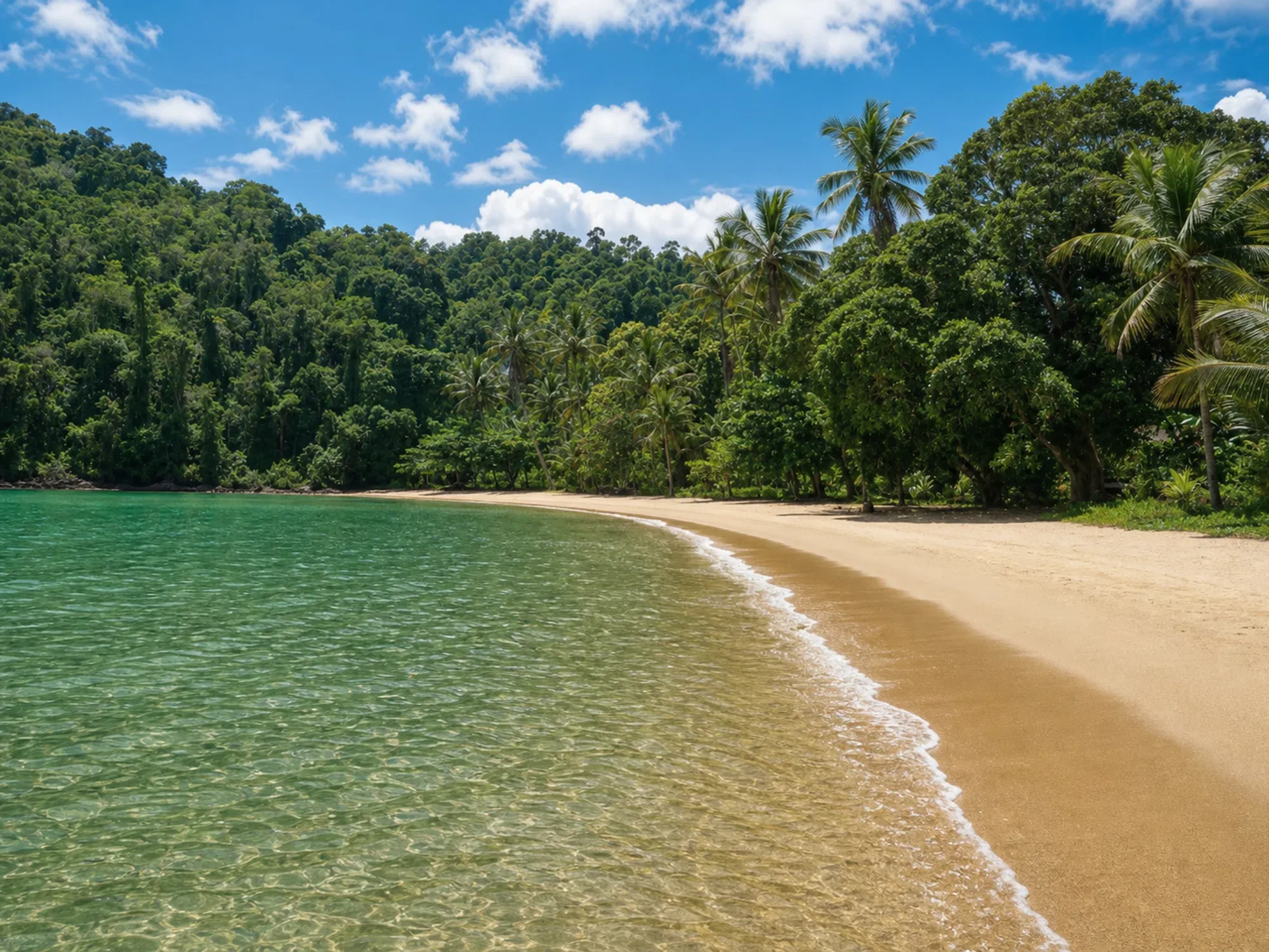
Jurumirim Beach
Beaches
Boat
7.8 km
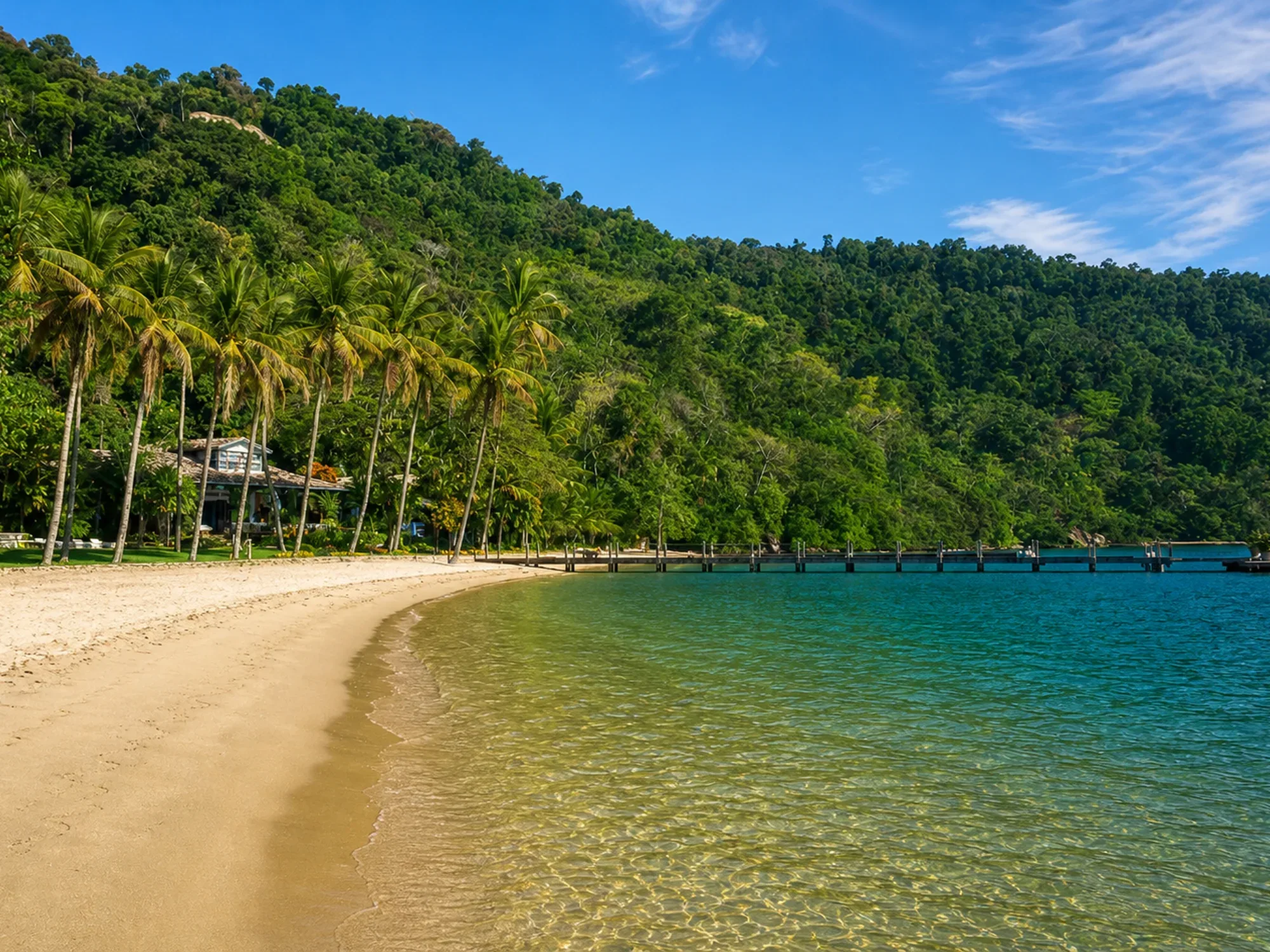
Bom Jardim Beach
Beaches
Boat
7.8 km