
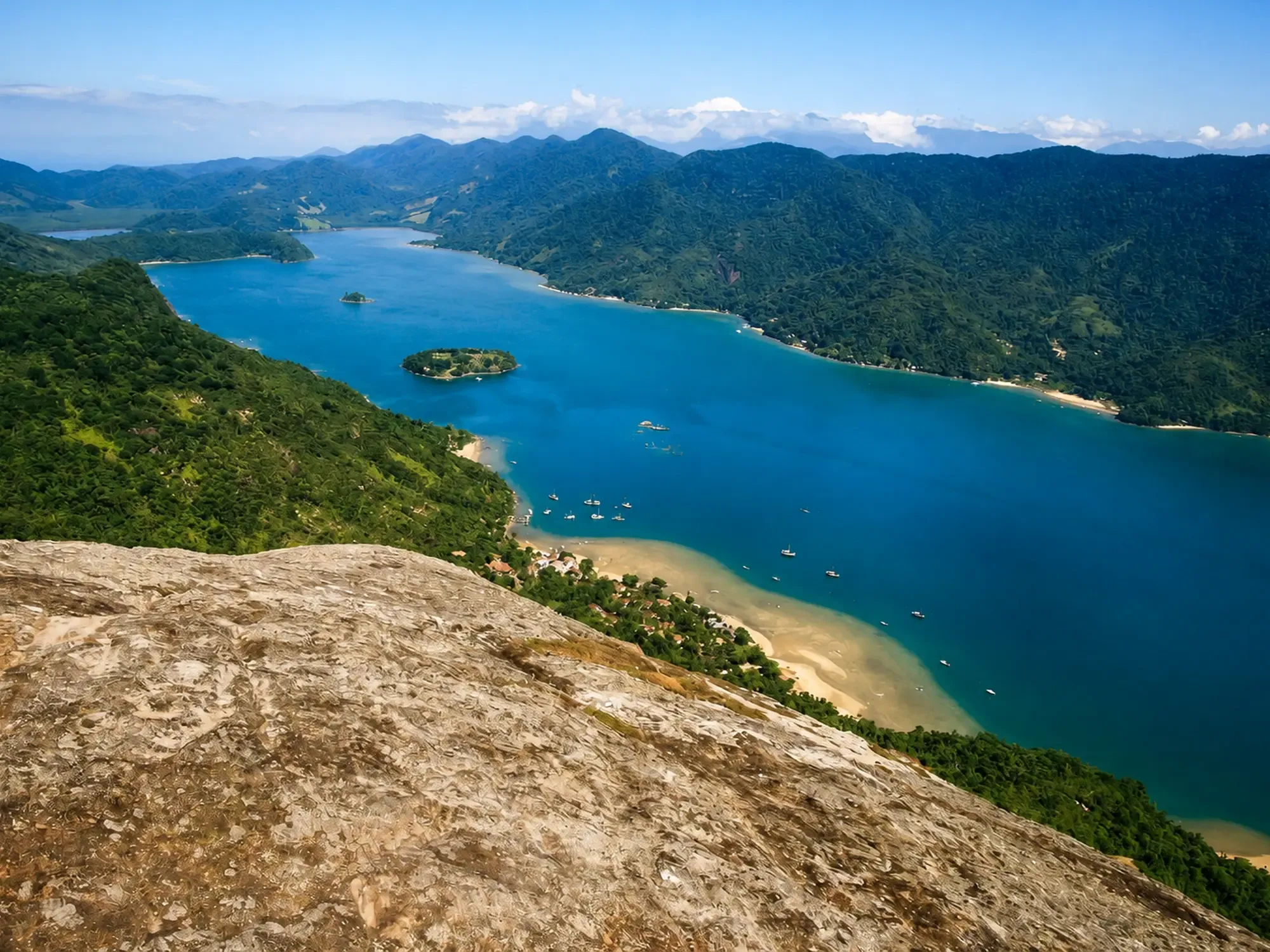
Saco do Mamanguá: A Tropical Ria
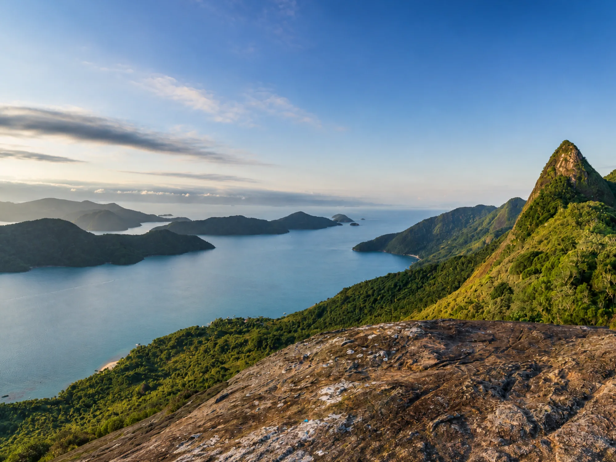
Saco do Mamanguá is an inlet about 8 km long, enclosed by mountains and ending in a mangrove. Popularly called a “tropical fjord,” it is technically a ria.
Browse the Saco do Mamanguá content available in Guia de Paraty.
6 records in Saco do Mamanguá
Saco do Mamanguá is an inlet about 8 km long, enclosed by mountains and ending in a mangrove. Popularly called a “tropical fjord,” it is technically a ria.
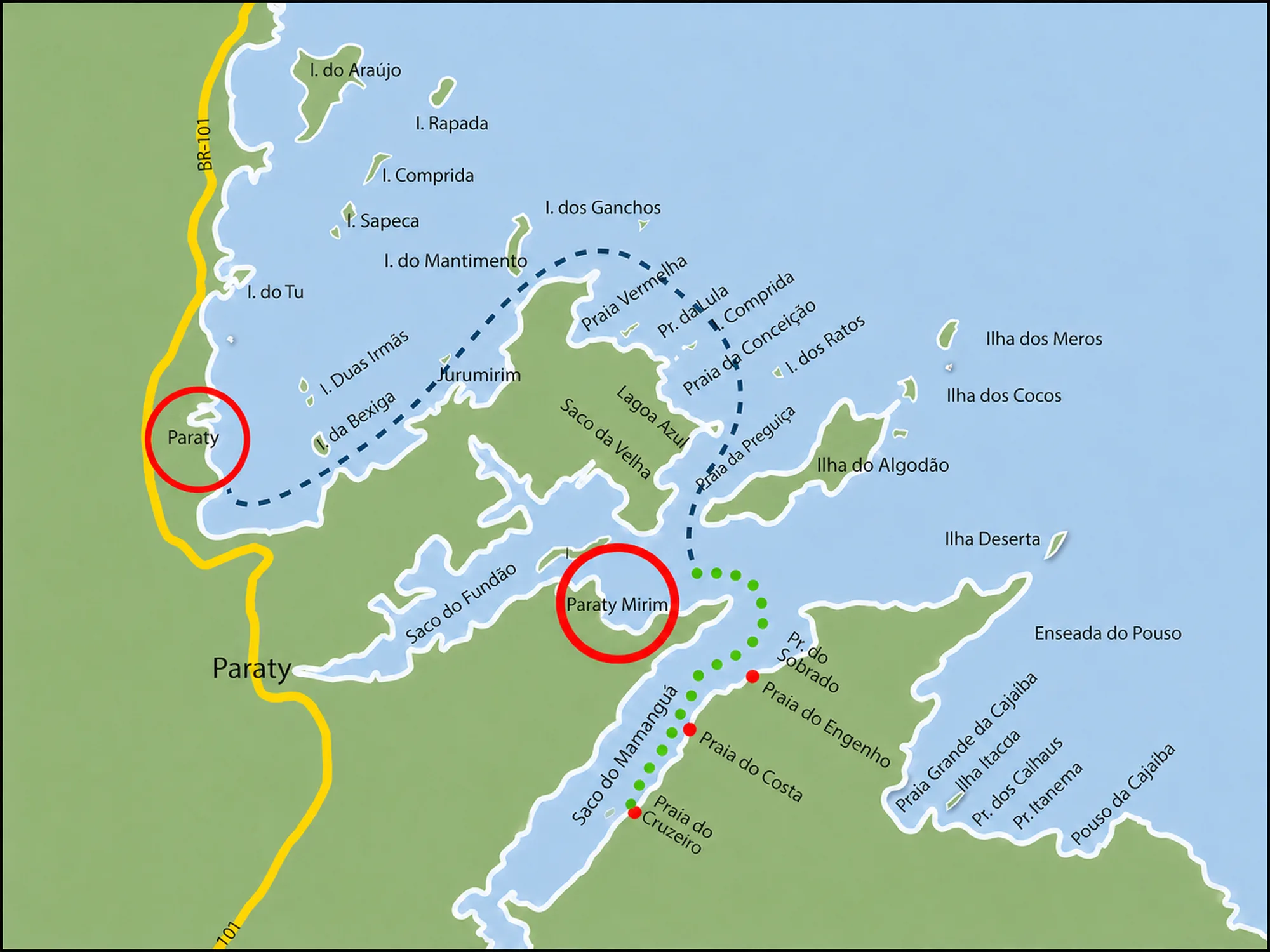
The most direct access is by boat from Paraty-Mirim. The crossing usually takes 20 to 40 minutes, depending on the destination beach, the vessel and the day’s conditions.
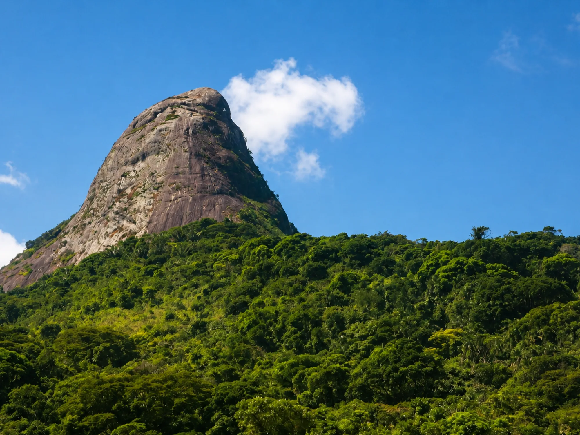
From Praia do Cruzeiro, the trail climbs about 425 m over 1.5 km. It is short, very steep and ends with a broad view over the Mamanguá ria.
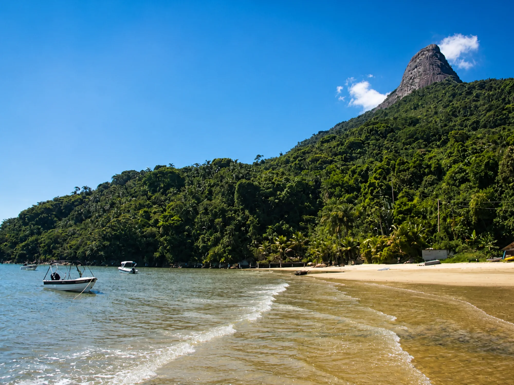
Mamanguá’s shores bring together small beaches, caiçara communities and a preserved mangrove at the head of the inlet. Conditions vary considerably with the beach, tide and recent rain.
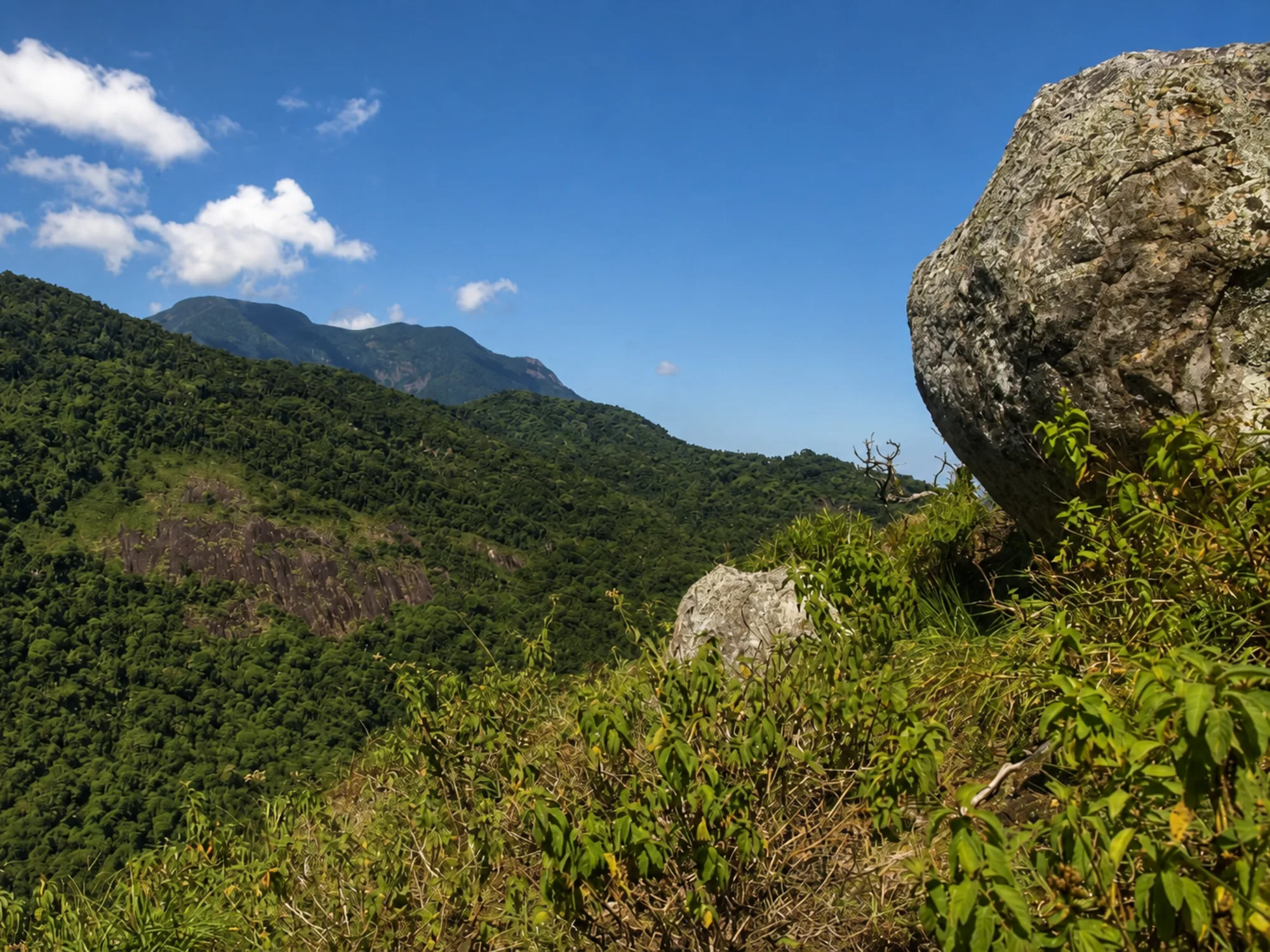
Saco do Mamanguá and the Juatinga Traverse meet in the Paraty-Mirim area, but they are different itineraries. Mamanguá can be added as the start, finish or a planned extension of the trek.
Mamanguá can be visited year-round. Drier periods favor the trails; in summer, heat and heavy showers require closer attention to forecasts and ground conditions.