
Travessia Sono → Antigo → Antiguinhos → Ponta Negra
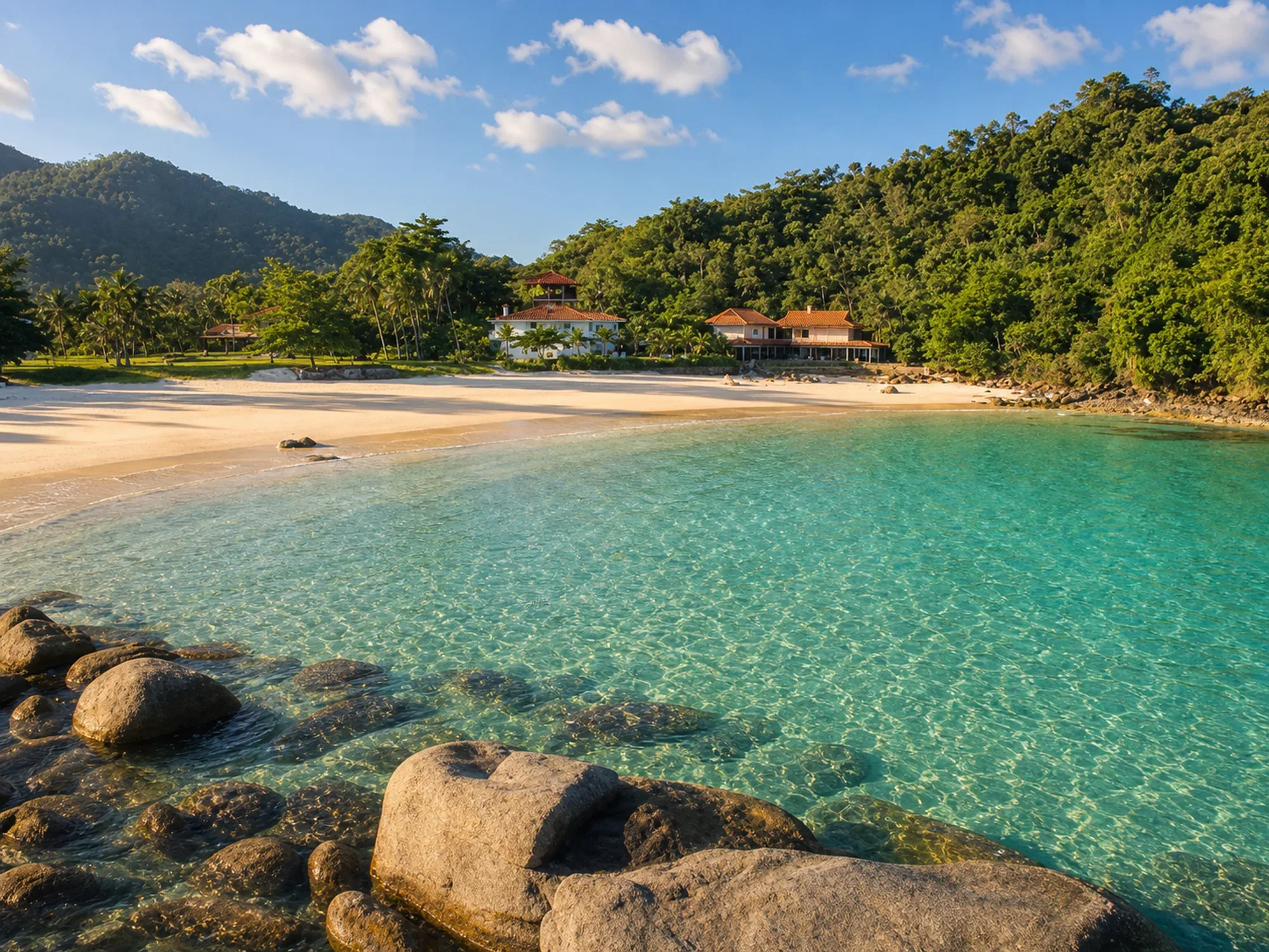
The best one-day coastal itinerary in Paraty. The trail connects four practically virgin beaches along the edge of the Juatinga Reserve, alternating between stretches of sand, rocks and Atlantic forest. It is the most accessible section of the Travessia da Juatinga — and the most rewarding per kilometer.
- ~10 km (Sono → Ponta Negra)
- Low, with climbs over rocks and forest
- 2h–2h30 (walking well)
About the trail
The best one-day coastal itinerary in Paraty. The trail connects four practically virgin beaches along the edge of the Juatinga Reserve, alternating between stretches of sand, rocks and Atlantic forest. It is the most accessible section of the Travessia da Juatinga — and the most rewarding per kilometer.
How to get to the starting point
Starting point: Praia do Sono (see entry). Follow the coastal trail towards Ponta Negra. The beaches of Antigo and Antiguinhos are on the way. Return by boat from Ponta Negra.
Environment and protection
Juatinga Ecological Reserve, Cairuçu APA — Coastal Atlantic Forest
Structure on the route
Camping at Praia do Sono (beginning). Ponta Negra has simple bars (end). Antigo and Antiguinhos without structure — take everything.
Best time
Winter and spring. In summer, frequent rains leave areas slippery.
Security
Minimum 2L of water — no supply points between beaches. Footwear with grip. Let someone know about the itinerary. No signal for most of the route.
Tips from those in the know
Leave Praia do Sono between 7am and 8am. Stop at Antigo and Antiguinhos beaches to snorkel — the clear waters between the rocks are worth the extra time. Arrange the return with a boat from Ponta Negra to Laranjeiras.
Curiosities
This coastal path was used by caiçaras in the region daily to move between communities — there was no road. The trail preserves this historic route. The stretch is part of the Travessia da Juatinga (3–4 days), one of the most beautiful on the Brazilian coast.
Need for guide
Recommended for the complete crossing. The section Sono → Ponta Negra is well marked and can be done without a guide.
Connections
- Praia do Sono (beginning)
- Ponta Negra (exit)
- Cairuçu das Pedras → Martim de Sá (extension of Juatinga)
Overall rating
The best 1-day itinerary in Paraty for those who want a trail with wild beaches. It requires logistical planning (boat return), but it is extremely rewarding.
Nearby places
Distance is approximate and measured in a straight line.
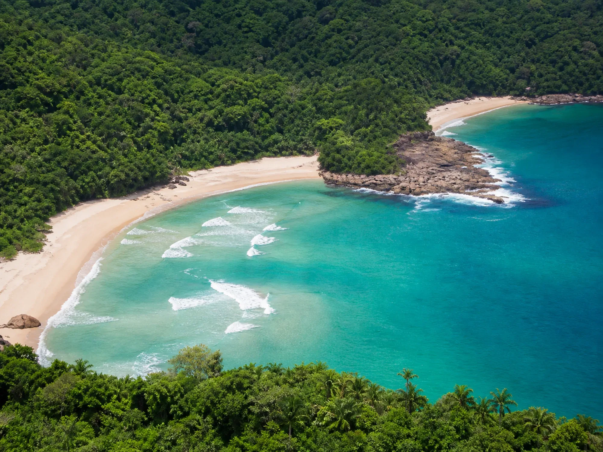
Praia do Antigo & Praia dos Antiguinhos
Beaches
By Trail
50 m
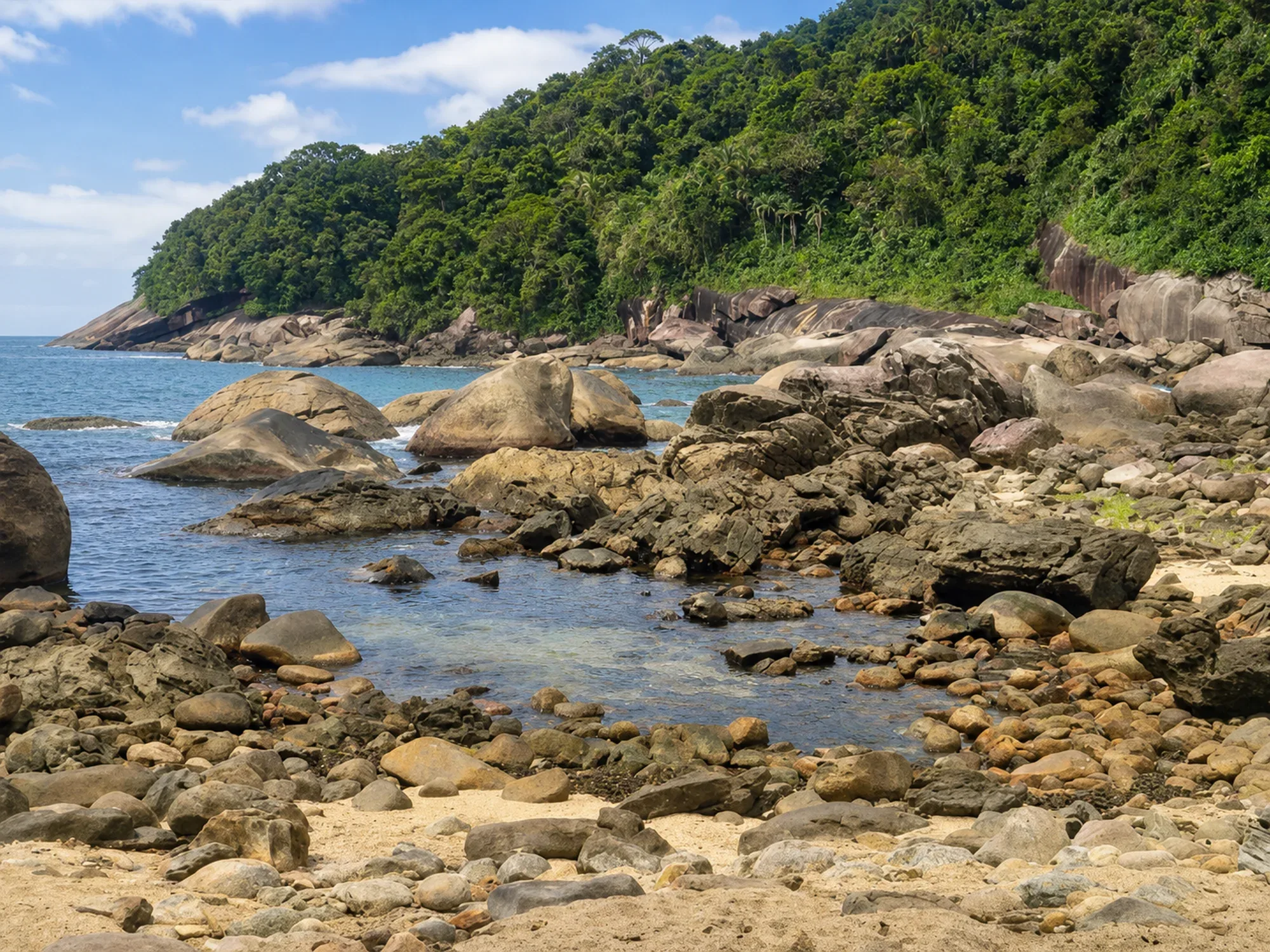
Galhetas Beach
Beaches
Boat / Trail
1.3 km
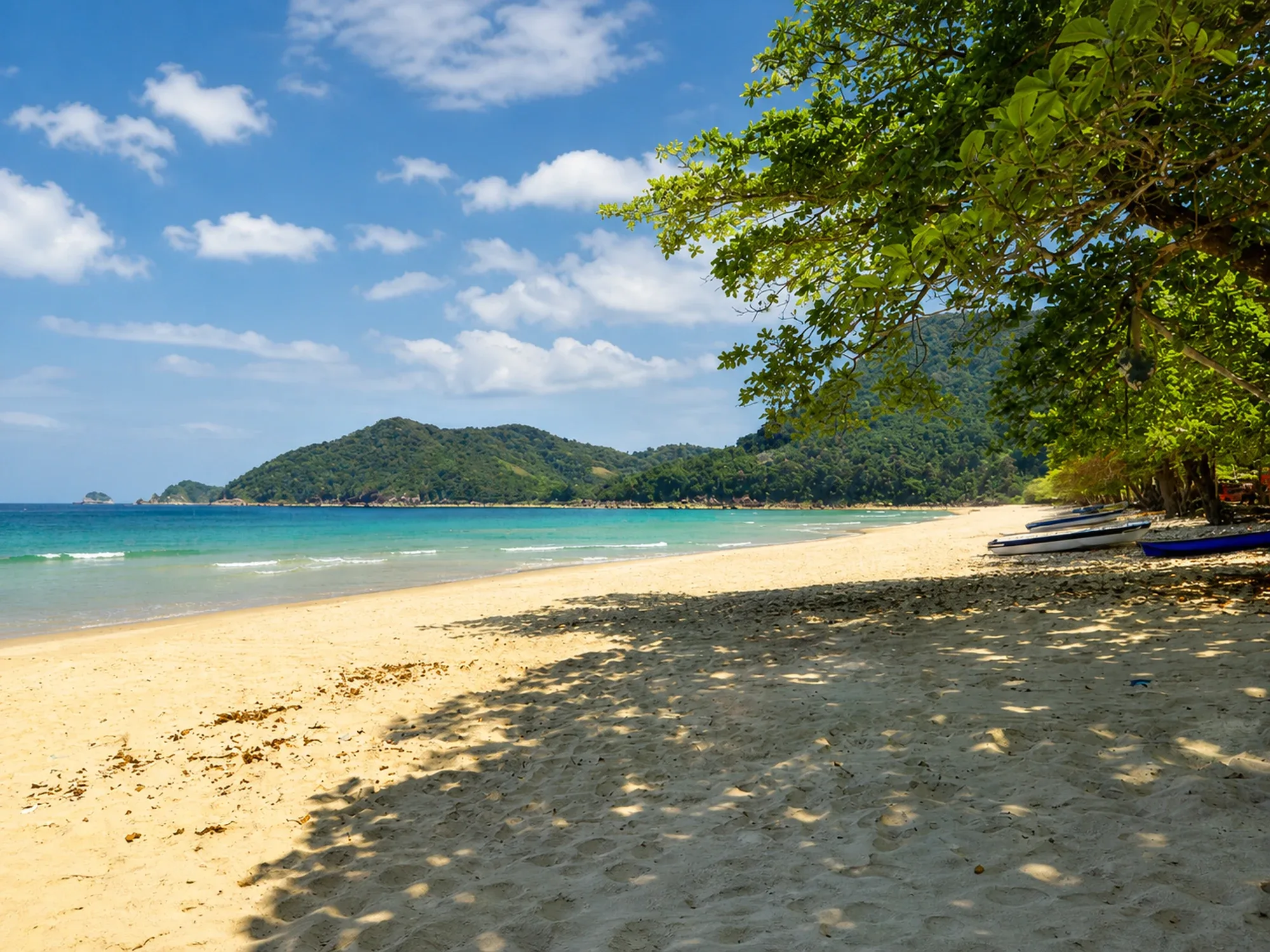
Praia do Sono
Beaches
By Trail
1.4 km
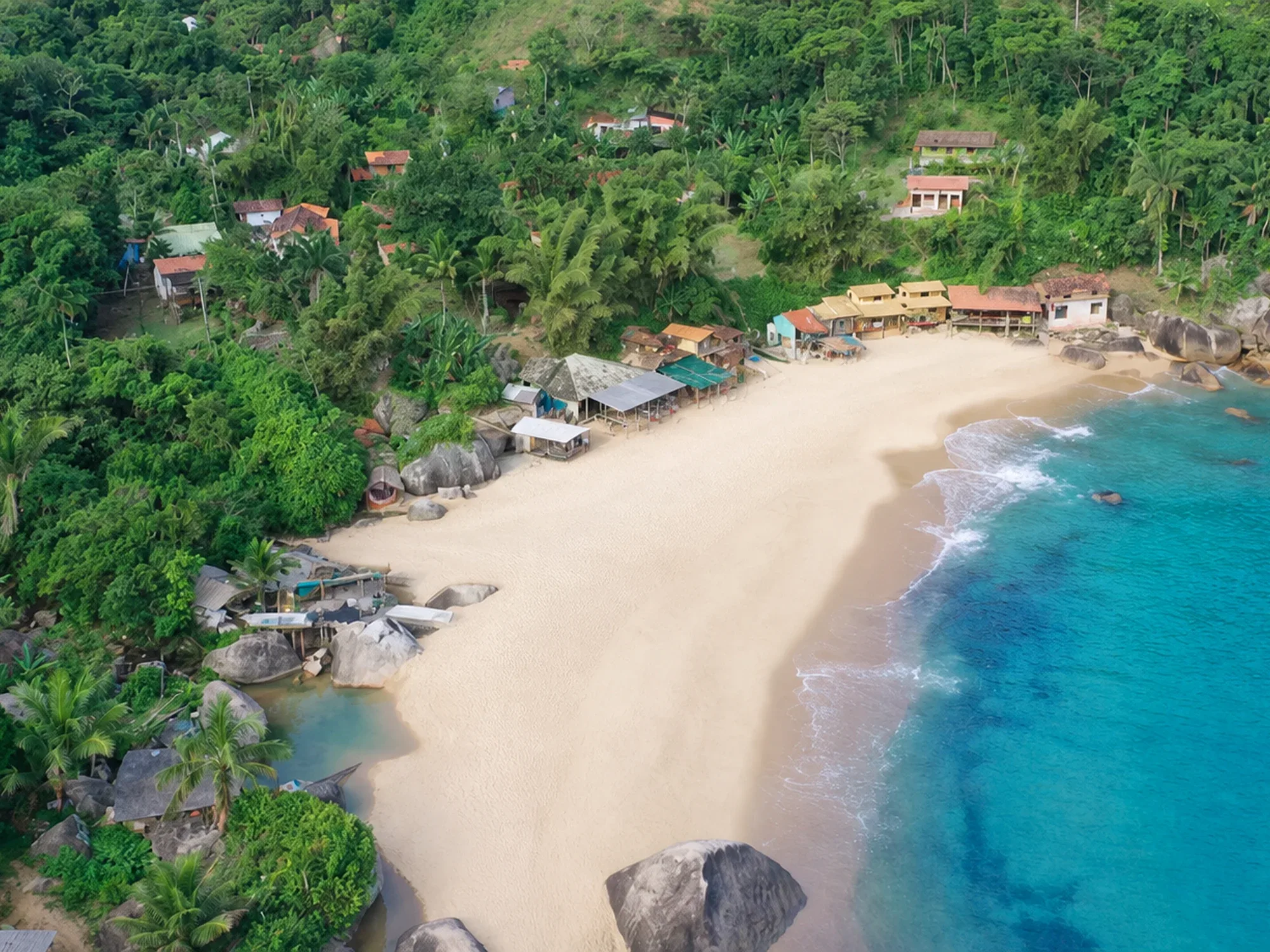
Ponta Negra Beach
Beaches
By Boat
1.7 km
Laranjeiras Beach
Beaches
Private road (condominium)
5.4 km
Ponta Negra → Cairuçu das Pedras → Martim de Sá
Trails
Advanced
6.2 km