
Ponta Negra → Cairuçu das Pedras → Martim de Sá
The most demanding and wildest section of the entire Travessia da Juatinga. +580 m altitude in 6.5 km, passing through the remote community of Cairuçu das Pedras before reaching Martim de Sá. An itinerary for adventurers with experience in long-distance trekking.
- ~6.5 km (Ponta Negra → Martim de Sá)
- Maximum elevation ~580 m
- ~4h (Ponta Negra → Martim de Sá)
About the trail
The most demanding and wildest section of the entire Travessia da Juatinga. +580 m altitude in 6.5 km, passing through the remote community of Cairuçu das Pedras before reaching Martim de Sá. An itinerary for adventurers with experience in long-distance trekking.
How to get to the starting point
Starting point: Ponta Negra Beach (see entry). MANDATORY GUIDE — hire in Ponta Negra or via an agency in Paraty before the trip.
Environment and protection
Juatinga Ecological Reserve — dense high-altitude forest with views of the coast
Structure on the route
No structure on the route. Cairuçu das Pedras: small community with basic services. Martim de Sá: Camping do Manequinho and kiosks.
Best time
May to October exclusively. Never during the rainy season — real risk of accidents.
Security
MANDATORY GUIDE. Minimum 2.5L of water, energy snack, technical trail shoes. Emergencies are very difficult to resolve in this section. Communicate the itinerary to someone off the trail.
Tips from those in the know
Cairuçu das Pedras is one of the most remote communities on the Costa Verde — with virtually no external access other than trails. Respect the residents, don't take photos without permission, buy directly from them. From Martim de Sá it is worth visiting the Juatinga Lighthouse and Praia da Sumaca.
Curiosities
The name "Cairuçu" comes from Tupi and gives its name to the federal APA that protects the entire region. Cairuçu das Pedras is a community that has practically not changed in the last 100 years — no electricity from the grid, no cell phone, artisanal fishing as the only source of income.
Need for guide
MANDATORY — without a local guide, do not follow this section.
Connections
- Ponta Negra (entrance)
- Martim de Sá (departure)
- Juatinga Lighthouse
- Sumaca Beach
- Paraty-Mirim (by boat from Martim de Sá)
Overall rating
For experienced adventurers who have already done the previous sections. Reward with unique landscapes and the most remote community in the region. Don't underestimate.
Nearby places
Distance is approximate and measured in a straight line.
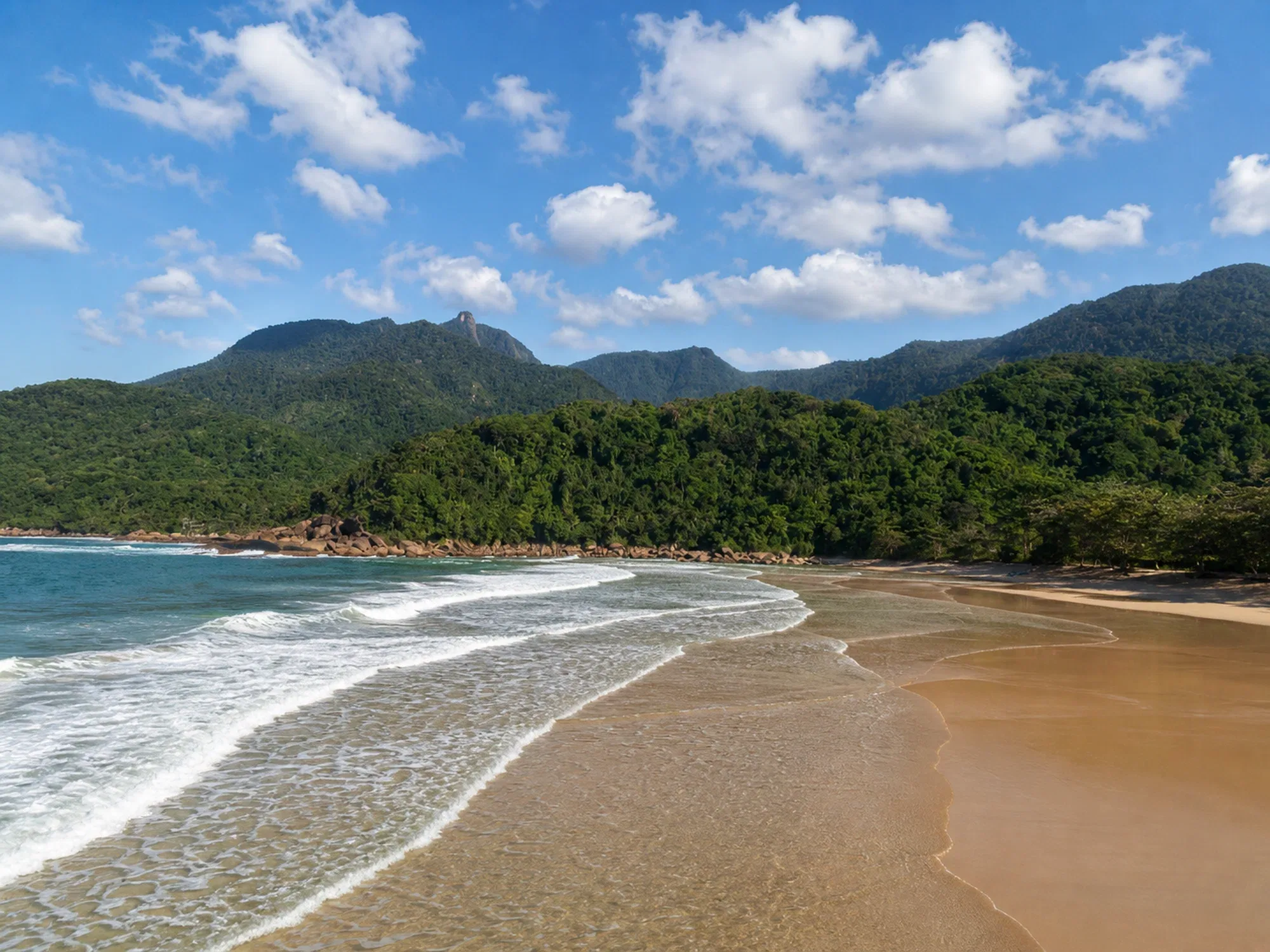
Martim de Sá Beach
Beaches
Boat / Trail
2.9 km
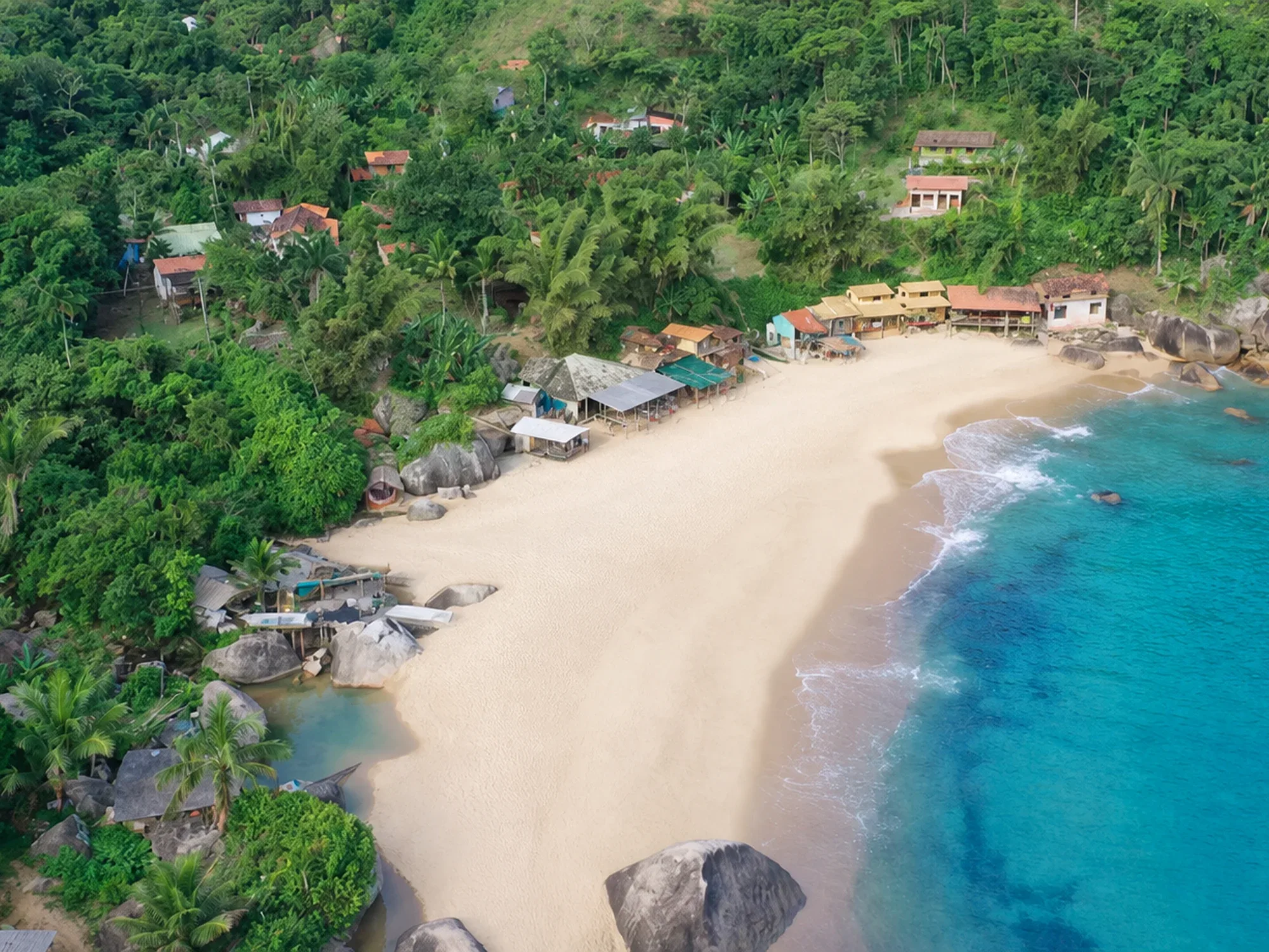
Ponta Negra Beach
Beaches
By Boat
5.1 km
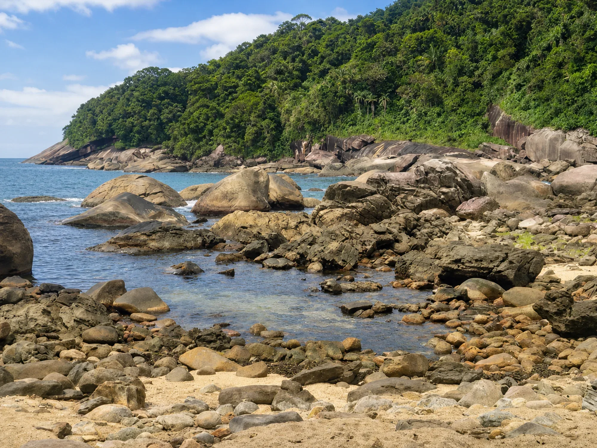
Galhetas Beach
Beaches
Boat / Trail
5.5 km
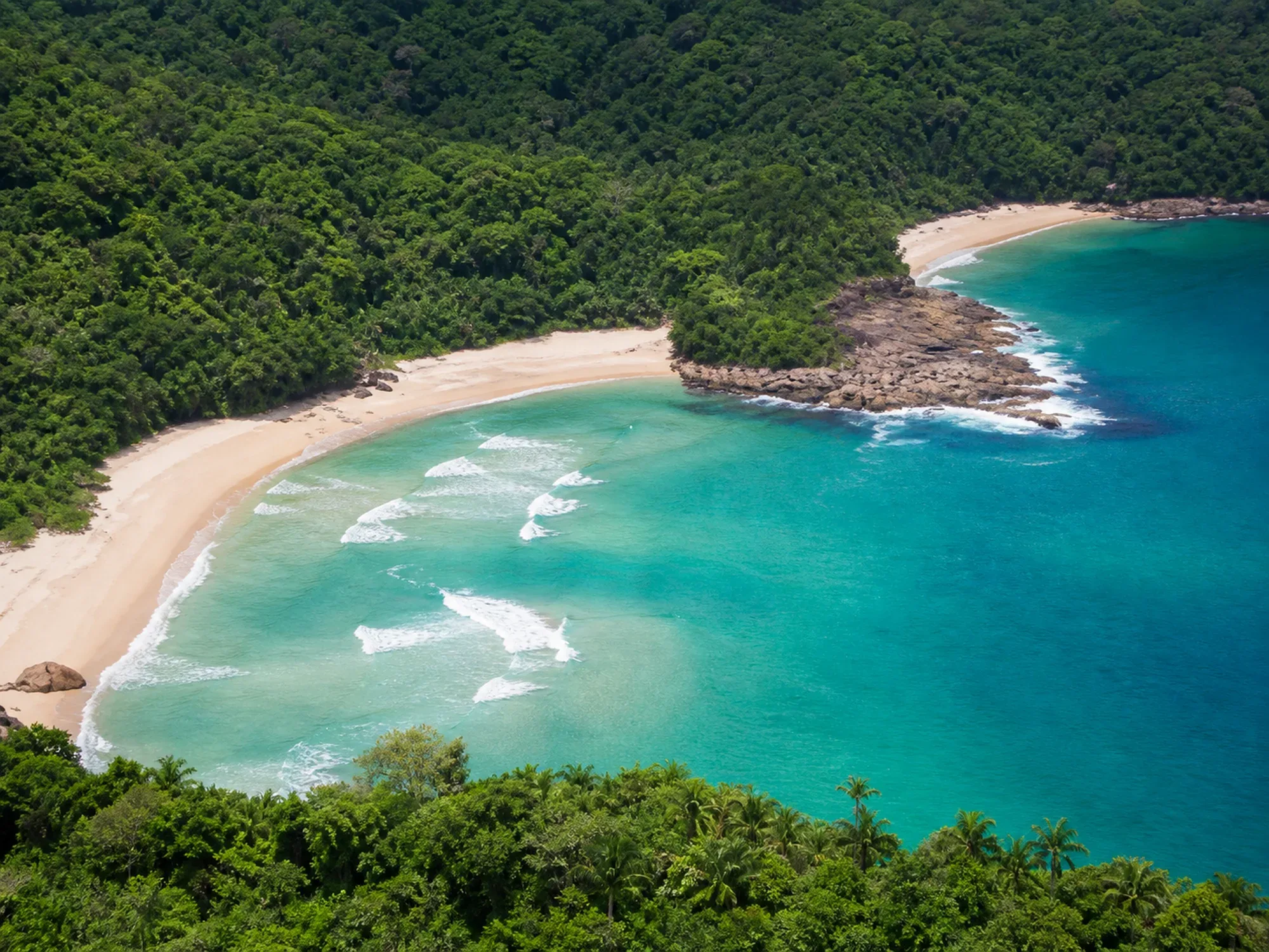
Praia do Antigo & Praia dos Antiguinhos
Beaches
By Trail
6.2 km
Travessia Sono → Antigo → Antiguinhos → Ponta Negra
Trails
Moderate
6.2 km
Pouso da Cajaíba
Beaches
Boat
6.4 km