
Juatinga Lighthouse & Sumaca Beach
The final point of the Juatinga Crossing and the southern end of Ilha Grande Bay. The Juatinga Lighthouse is a small, deactivated historic lighthouse that marks the geographic boundary between the open ocean and the bay. The sunrise from here, with the open Atlantic ahead, is among the most epic moments on Costa Verde.
- ~8 km round trip from Martim de Sá
- Baixa — coastal trail with gentle climbs
- ~4h round trip from Martim de Sá
About the trail
The final point of the Juatinga Crossing and the southern end of Ilha Grande Bay. The Juatinga Lighthouse is a small, deactivated historic lighthouse that marks the geographic boundary between the open ocean and the bay. The sunrise from here, with the open Atlantic ahead, is among the most epic moments on Costa Verde.
How to get to the starting point
Base: Martim de Sá Beach (after trekking or boat from Paraty-Mirim). Coastal trail of ~4 km to the lighthouse, passing by Praia da Sumaca. Sumaca has rustic camping (Camping do Manequinho).
Environment and protection
Coastal point exposed to the Juatinga Reserve — no dense vegetation, very windy
Structure on the route
No structure on the trail. Rustic camping at Praia da Sumaca. Martim de Sá has Camping do Manequinho and kiosks.
Best time
Sunny days with moderate wind. Avoid high tides that cover sections of the coastal trail.
Security
Exposed coastal stretch: strong wind and sun. Mandatory sunscreen. Bring water — no fountains on the route. Pay attention to the tide.
Tips from those in the know
Take the route early in the morning for sunrise at the lighthouse — one of the most photographic experiences on the entire Costa Verde. Praia da Sumaca, on the way, has a rustic campsite where many adventurers spend the last night of the Juatinga Crossing.
Curiosities
The Juatinga Lighthouse marks the southern end of Ilha Grande Bay, having been a reference point for navigators since colonial times. It appears on historical nautical charts as an orientation point for ships coming from the south.
Need for guide
Recommended from Martim de Sá — coastal route with exposed sections.
Connections
- Martim de Sá (base)
- Sumaca Beach
- Juatinga crossing
- Paraty-Mirim (return by boat)
Overall rating
Epic destination for the completion of the Juatinga Crossing. The sunrise is worth any effort. Not recommended as a 1-day excursion without experience in the previous sections.
Nearby places
Distance is approximate and measured in a straight line.
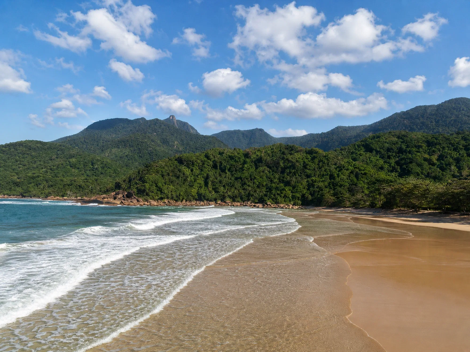
Martim de Sá Beach
Beaches
Boat / Trail
5.0 km
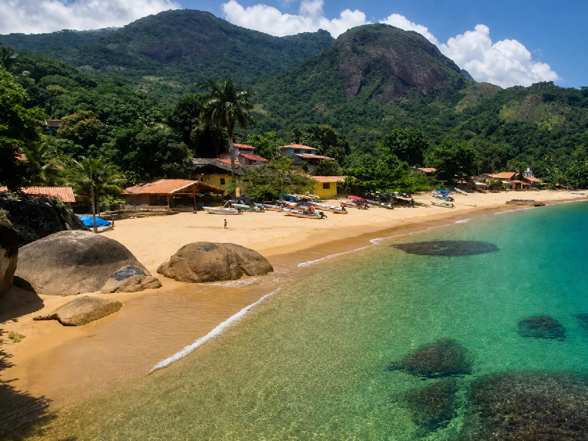
Pouso da Cajaíba
Beaches
Boat
5.6 km
Ponta Negra → Cairuçu das Pedras → Martim de Sá
Trails
Advanced
6.9 km
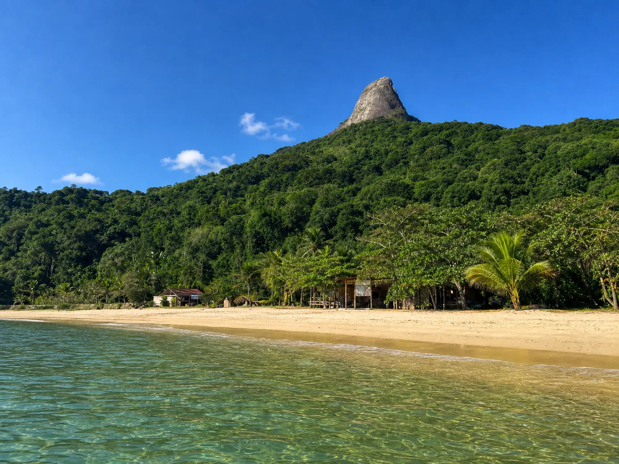
Sugar Loaf Peak
Trails
Difficult
11.7 km
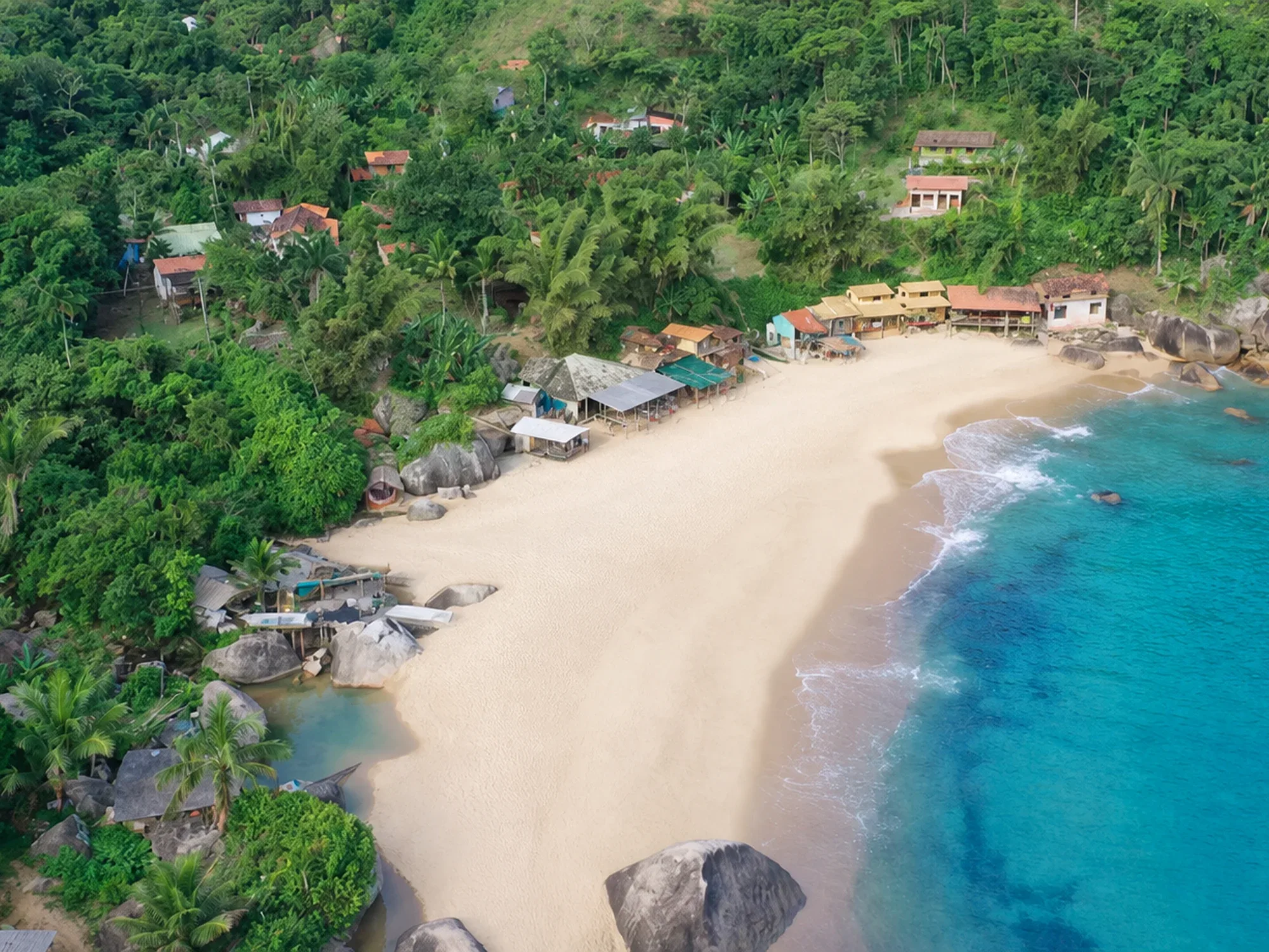
Ponta Negra Beach
Beaches
By Boat
12.0 km
Saco do Mamanguá
Beaches
Boat
12.4 km