
Pedra da Macela
The peak on the border between São Paulo and Rio de Janeiro, within the Serra do Mar State Park. The trail is physically demanding due to the constant slope (+350 m in 2.35 km), but without technical sections. At the top: one of the most complete views of the Costa Verde — Costa Verde on the left, Paraty in the center, Ubatuba and Mantiqueira on the right.
- ~5 km round trip
- 1,840 m
- ~2h30 round trip

About the trail
The peak on the border between São Paulo and Rio de Janeiro, within the Serra do Mar State Park. The trail is physically demanding due to the constant slope (+350 m in 2.35 km), but without technical sections. At the top: one of the most complete views of the Costa Verde — Costa Verde on the left, Paraty in the center, Ubatuba and Mantiqueira on the right.
How to get to the starting point
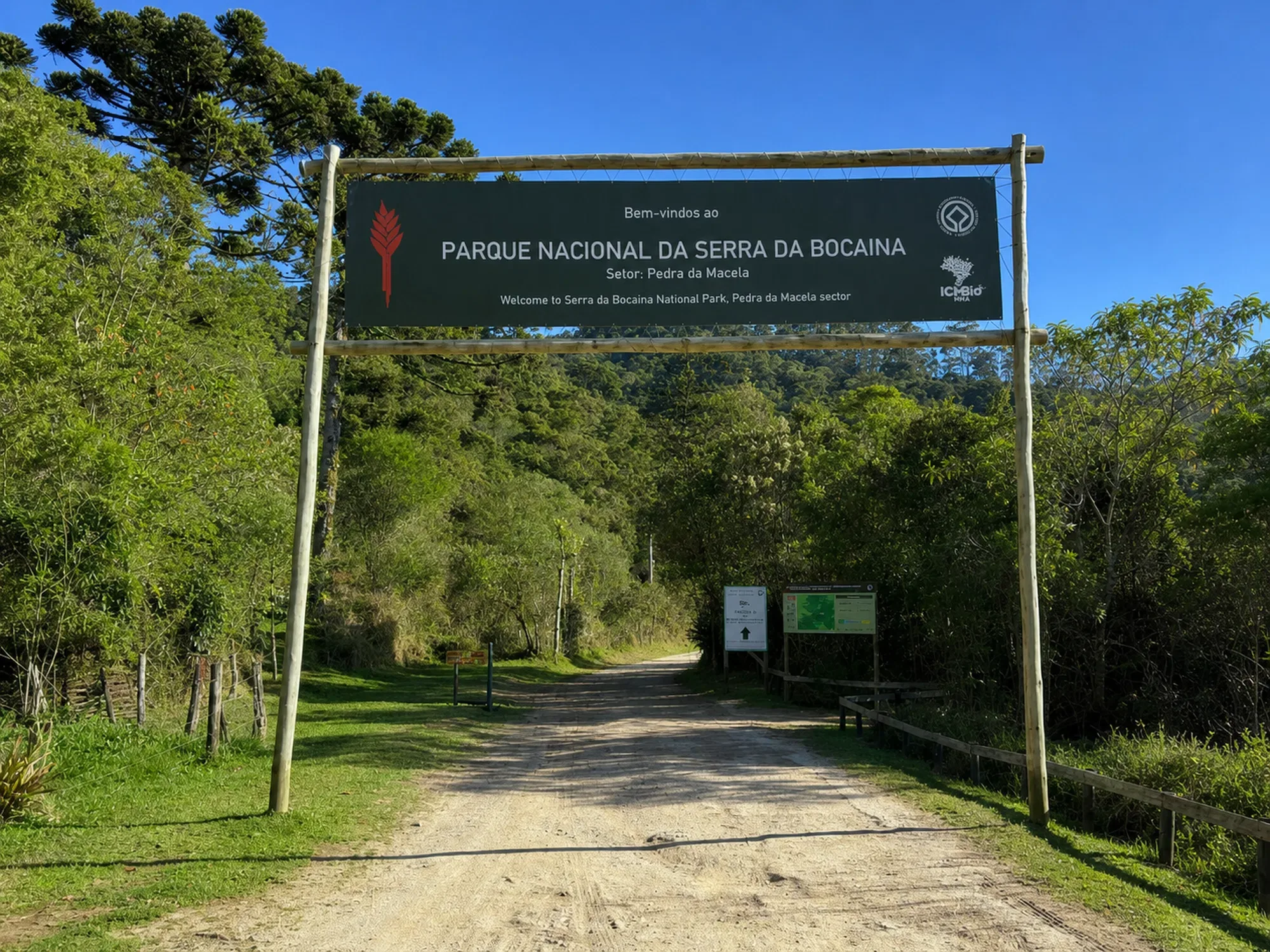
BR-459 (Royal Road between Cunha and Paraty). From the center of Paraty: ~32 km. Approximately 5 km on a dirt road passable by any car. Free guard at the entrance with information.
Environment and protection
Serra do Mar State Park — Atlantic Forest at altitude
Structure on the route
Guardhouse at the entrance, dry bathroom, drinking fountain. Free access. No snack bar.
Best time
May to October (dry). Leave early — fog usually appears after 10 am and closes the view.
Security
Constant incline tires those who are not in shape. Fog can develop quickly — bring a coat. Slippery rocks at the top on a rainy day. Minimum 1.5L of water per person.
Tips from those in the know
Leave before 8am to ensure a clear view. From the top on a clear day: Costa Verde (left), Paraty (front), Ubatuba and Serra da Mantiqueira (right). One of the views that encompasses two states simultaneously. Well-marked trail — easy to follow without a guide.
Curiosities
Pedra da Macela is on the route of the old Estrada Real, the colonial path that connected Minas Gerais to the coast. The set of views from the top is unique in Brazil due to its scope: coastline, plateau and mountains in one panoramic view.
Need for guide
Not mandatory. Well marked and accessible trail.
Connections
- Cunha (SP)
- Historic Royal Road
- Paraty
Overall rating
Recommended for those who want altitude and panorama without technical equipment. It requires breath due to the steepness, but it offers one of the most impressive views of Costa Verde.
Gallery
Nearby places
Distance is approximate and measured in a straight line.
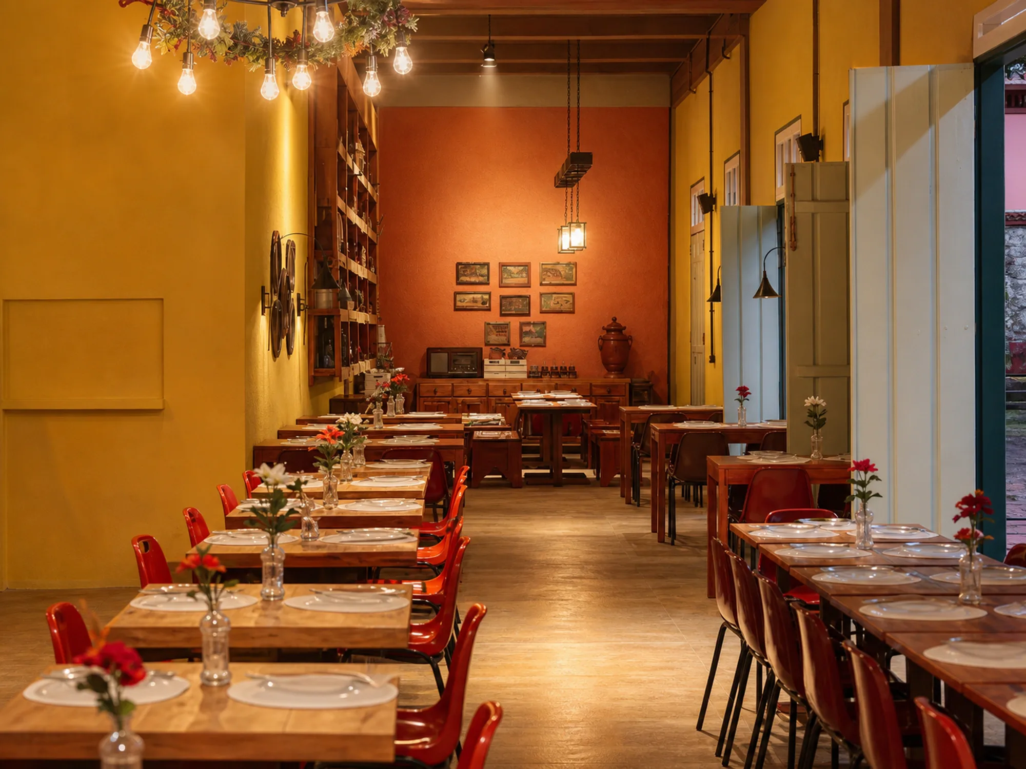
Casa Paratiana
Restaurants
Caipira / Regional
9.9 km
Approximate location
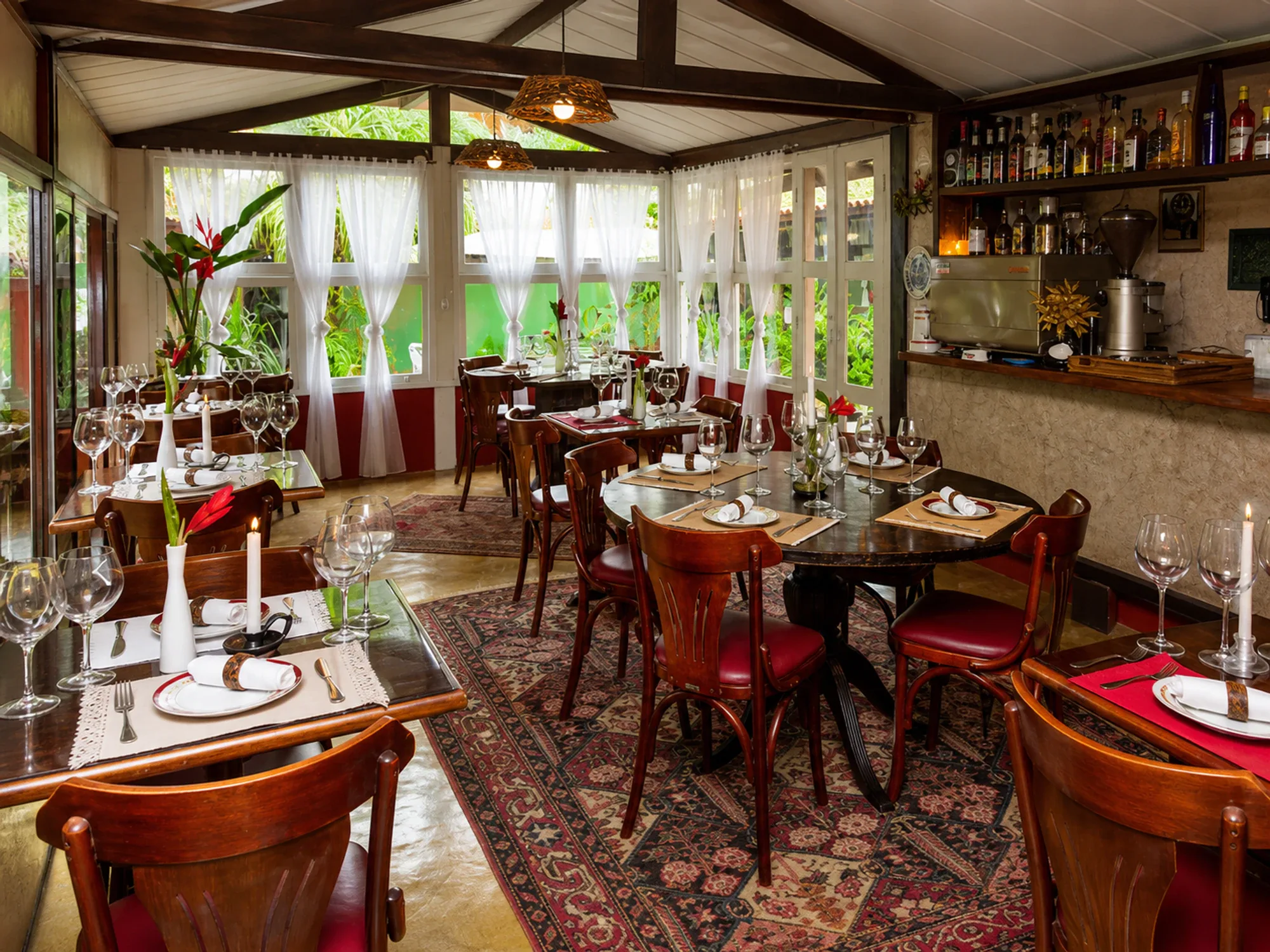
Voilà Bistrô
Restaurants
French
10.7 km
Approximate location
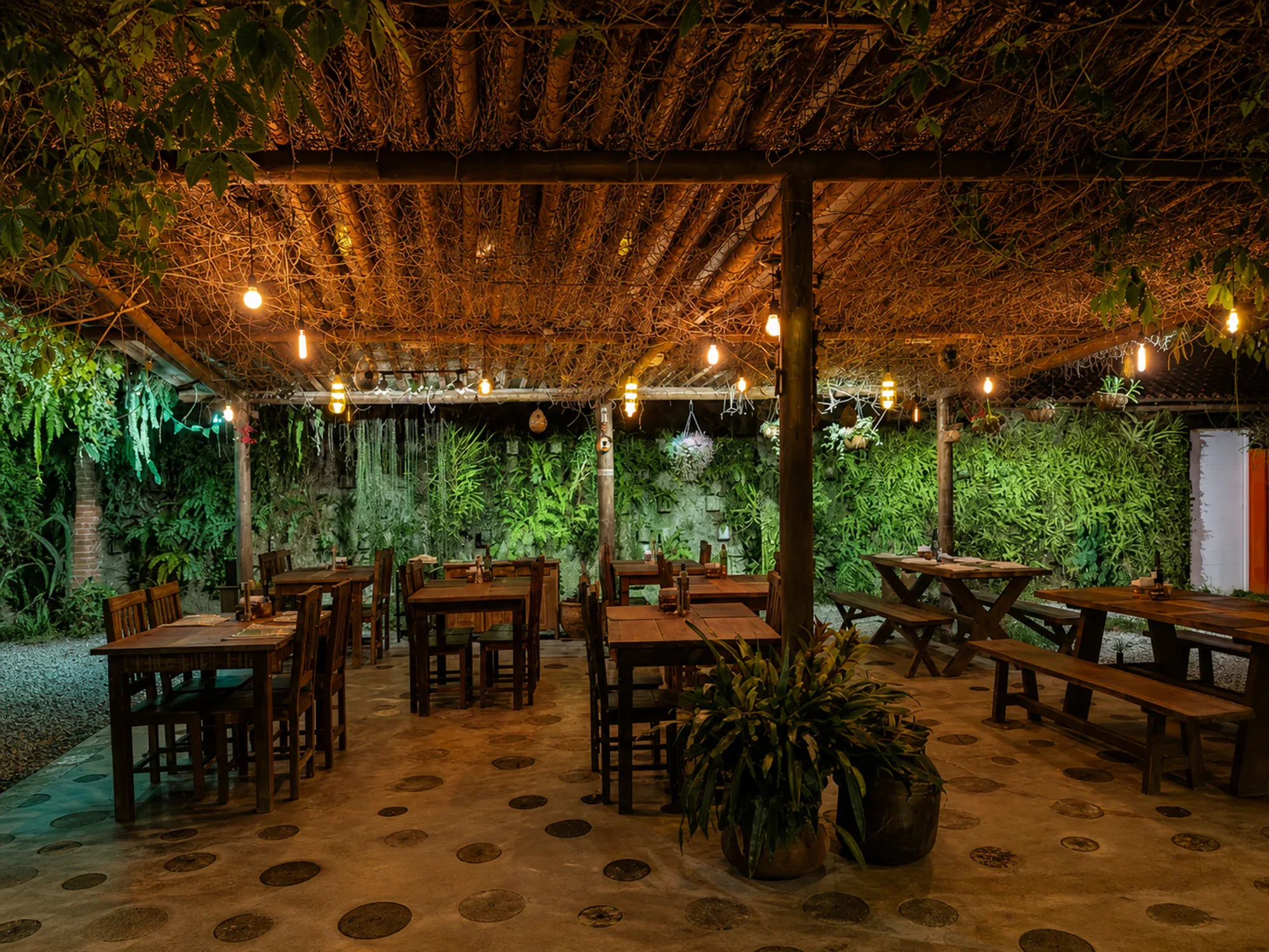
Sancho Pança
Restaurants
Restaurant and Cookery / Meat
10.8 km
Approximate location
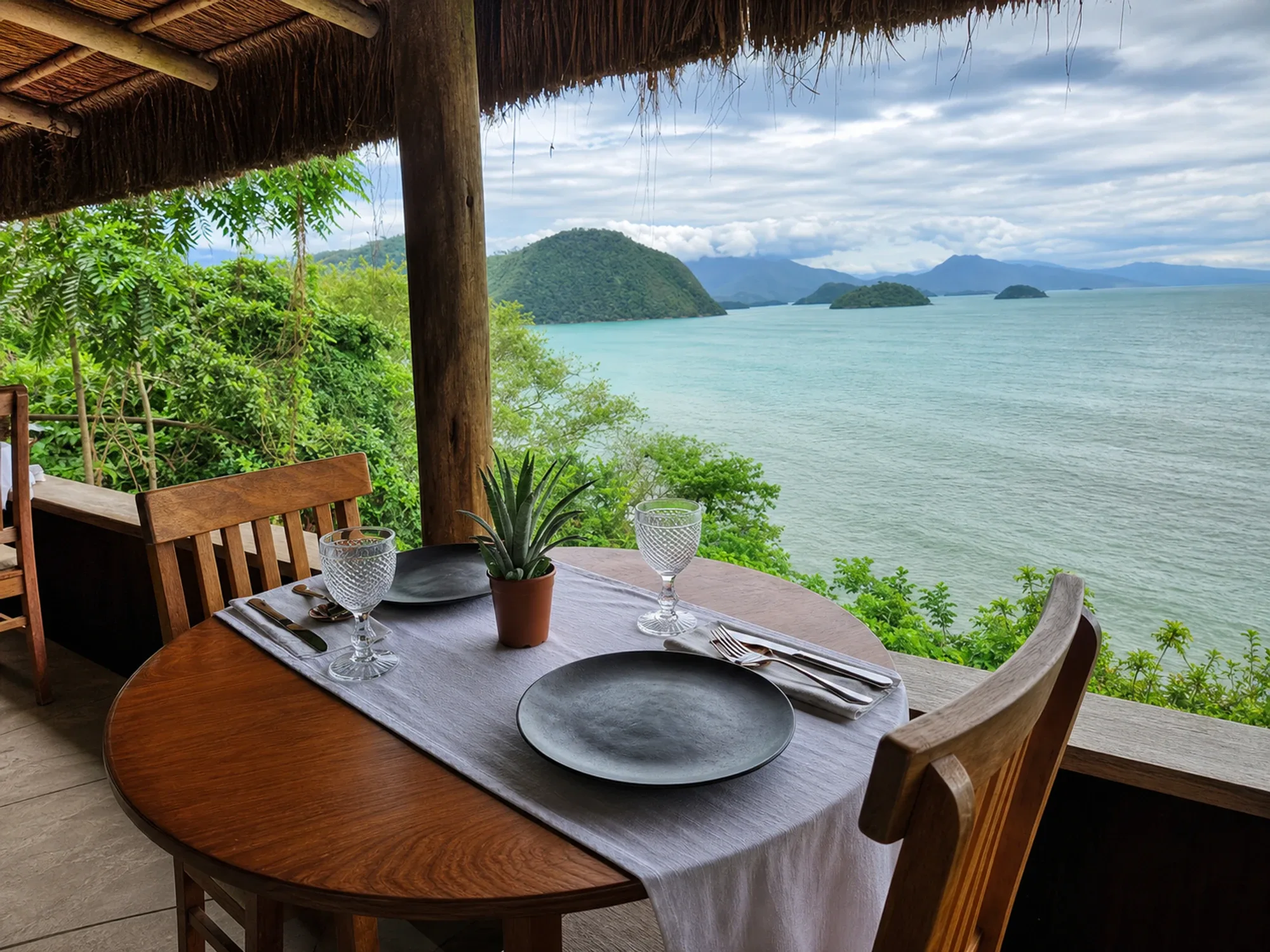
Pindorama
Restaurants
Brazilian Signature Gastronomy
11.8 km
Approximate location
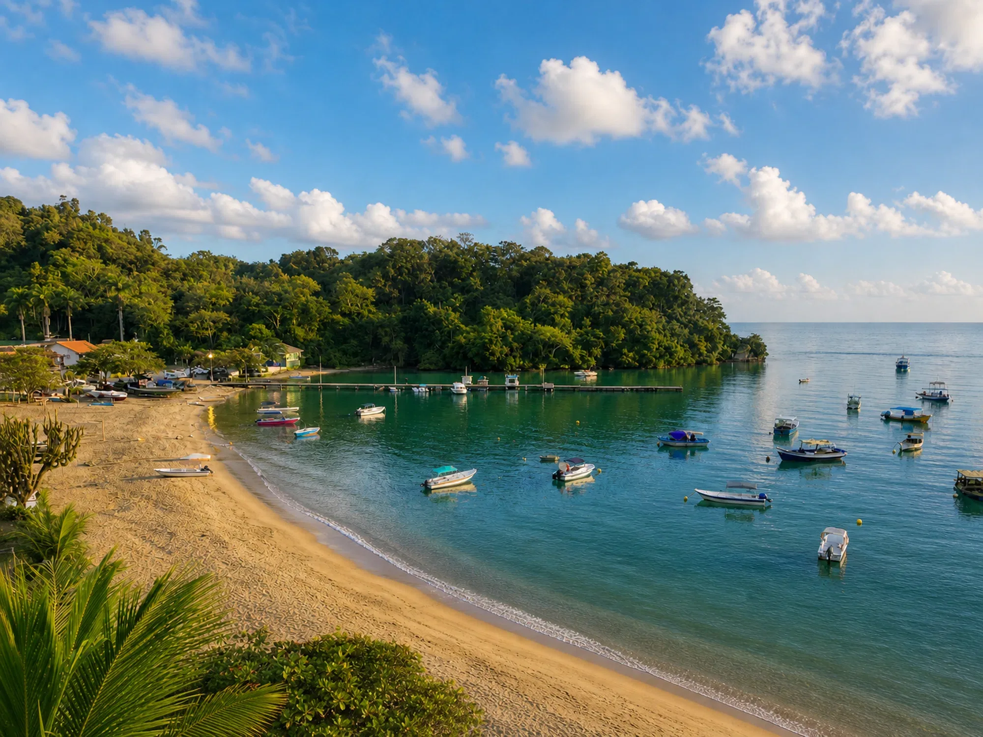
Praia Grande Beach
Beaches
Car/Bus
11.9 km
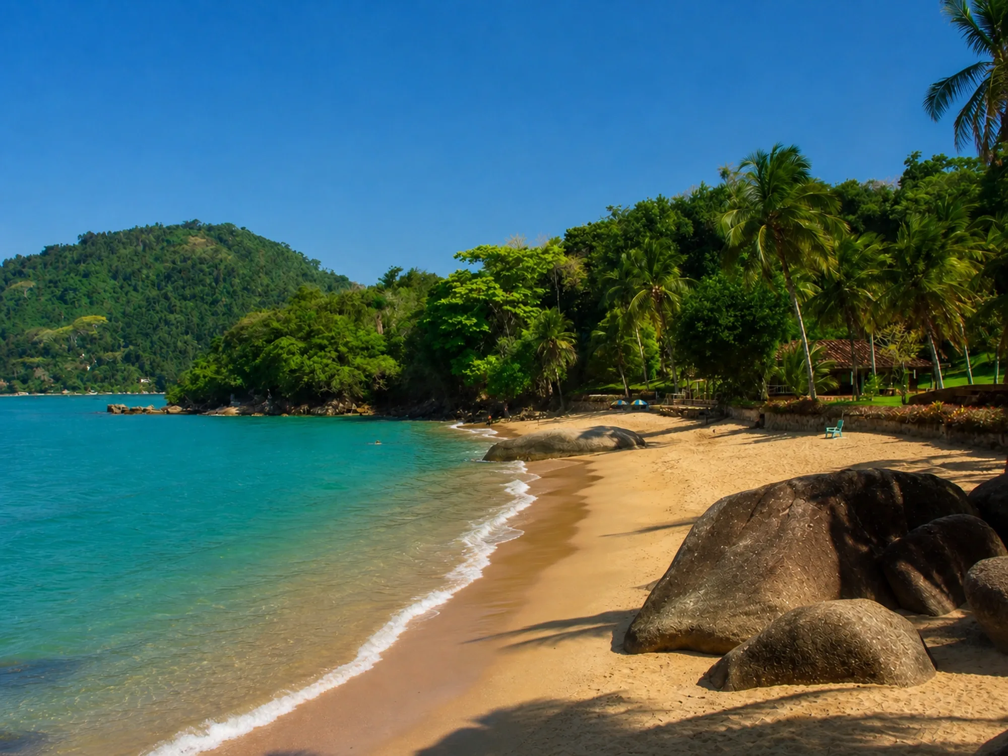
Prainha da Praia Grande
Beaches
Car
12.1 km