Paraty-Mirim
Caiçara village from the 19th century. XVII. Gateway to Saco do Mamanguá.
- Easy
- 18 km from the center
About the beach
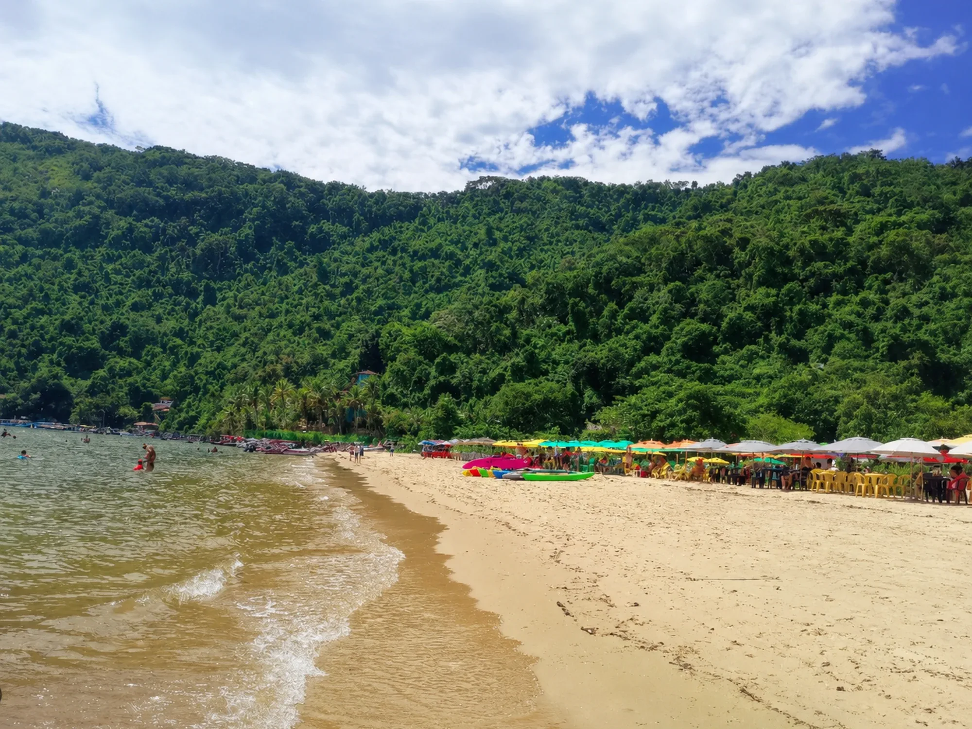
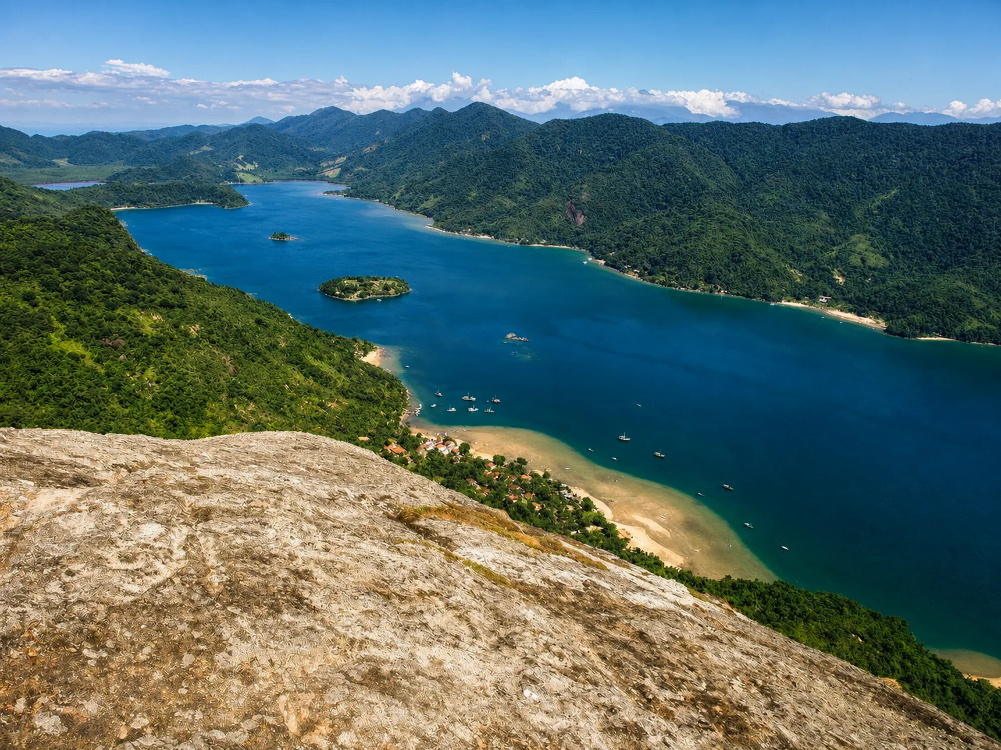
Small district with a preserved caiçara soul, Church of Nossa Senhora das Graças (1720) and quiet beach. The main attraction is that it is the starting point for Saco do Mamanguá — the only tropical fjord in Brazil. A must-see for anyone exploring the interior of Costa Verde.
How to get there
Car: BR-101 towards São Paulo until km 154.5, entrance on the right via a dirt road passable by any vehicle. Bus: regular line leaving from Paraty bus station.
Features of the sea
Quiet, good for bathing. Rock formations at the entrance to the bay.
Structure on site
Kiosks, restaurants, simple inns. Local boatmen for crossing Mamanguá. Reasonable cell phone signal.
Best time
All year round. Best from September to March for the sea. Low season for skip-the-line boaters available.
Practical tips
Arrive early and negotiate directly with local boatmen for the crossing to Mamanguá. Visiting the 1720 colonial church is worth the few minutes. The community is small — respect the local rhythm.
Curiosities
The village has existed since the 17th century. XVII as a crossing point for travelers going down the Serra do Mar. The Church of Nossa Senhora das Graças (1720) is one of the oldest in the region. "Mirim" comes from Tupi and means "small".
Connections
- Saco do Mamanguá (boat)
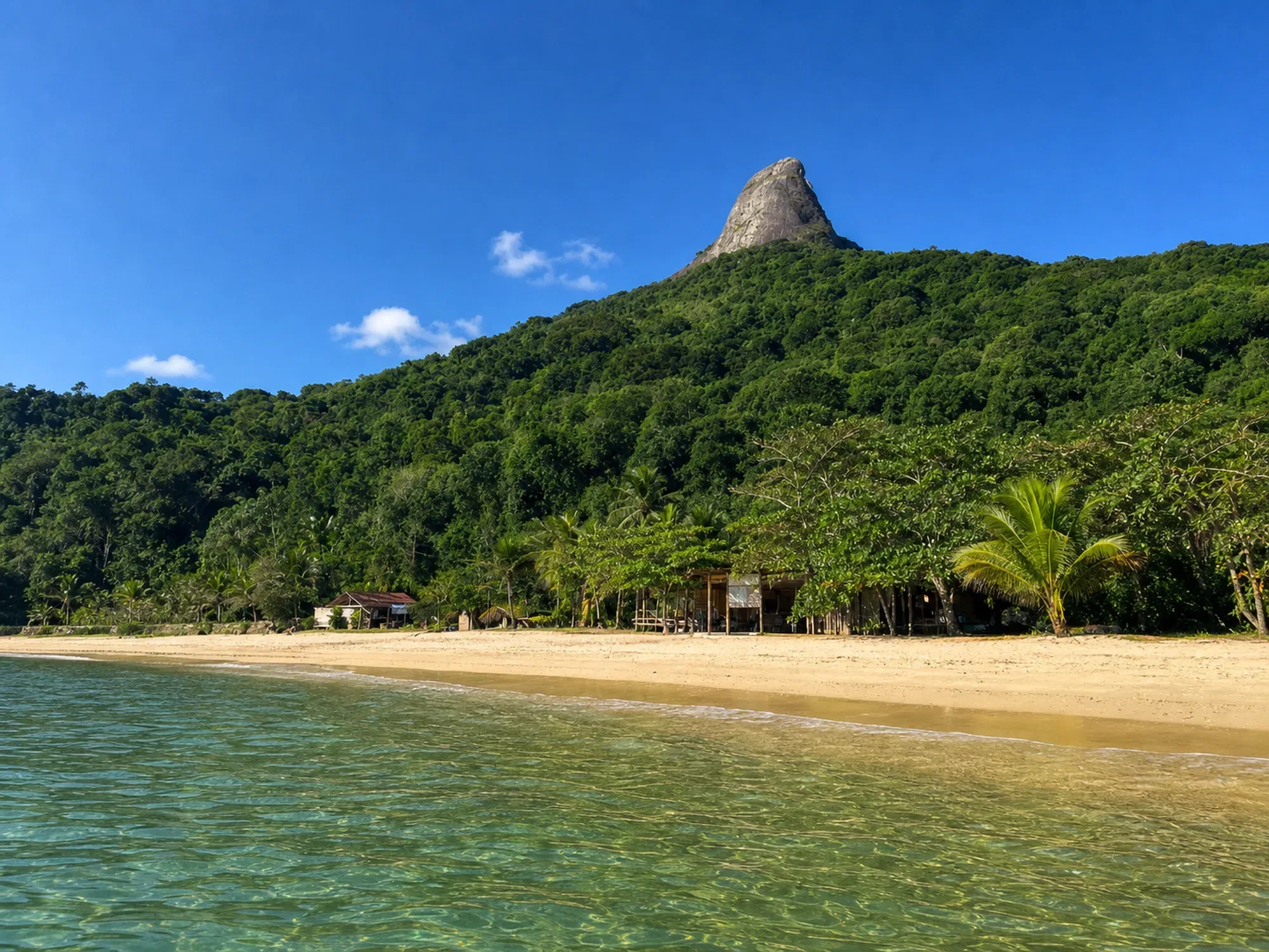
- Sugar Loaf Peak (boat + trail)
- Paraty-Mirim–Mamanguá trail
Overall rating
Essential as a boarding point for Mamanguá. In itself, a charming village with a quiet beach and vivid colonial history.
Gallery
Nearby places
Distance is approximate and measured in a straight line.
Sugar Loaf Peak
Trails
Difficult
3.6 km
Saco do Mamanguá
Beaches
Boat
3.6 km
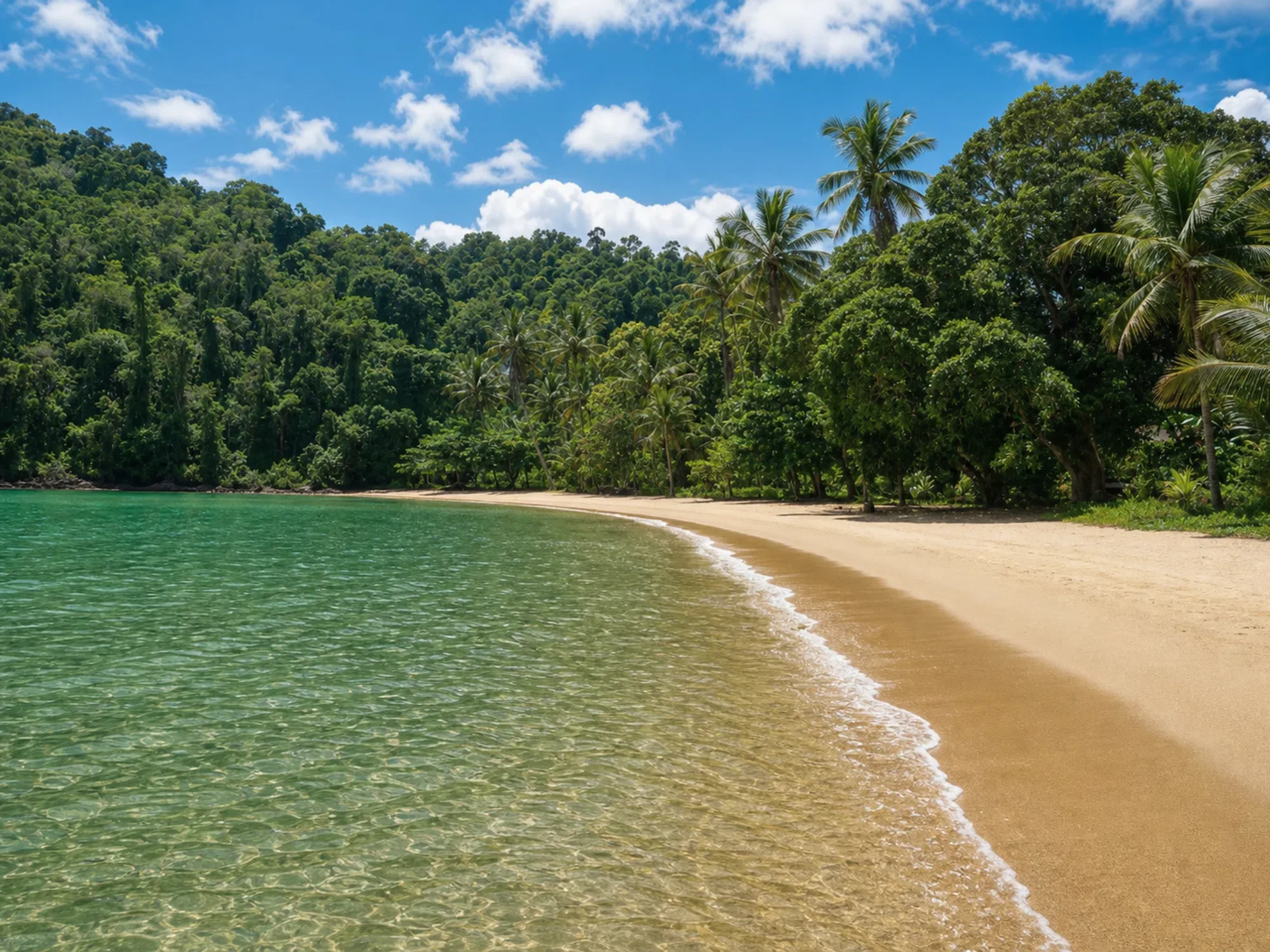
Jurumirim Beach
Beaches
Boat
4.4 km
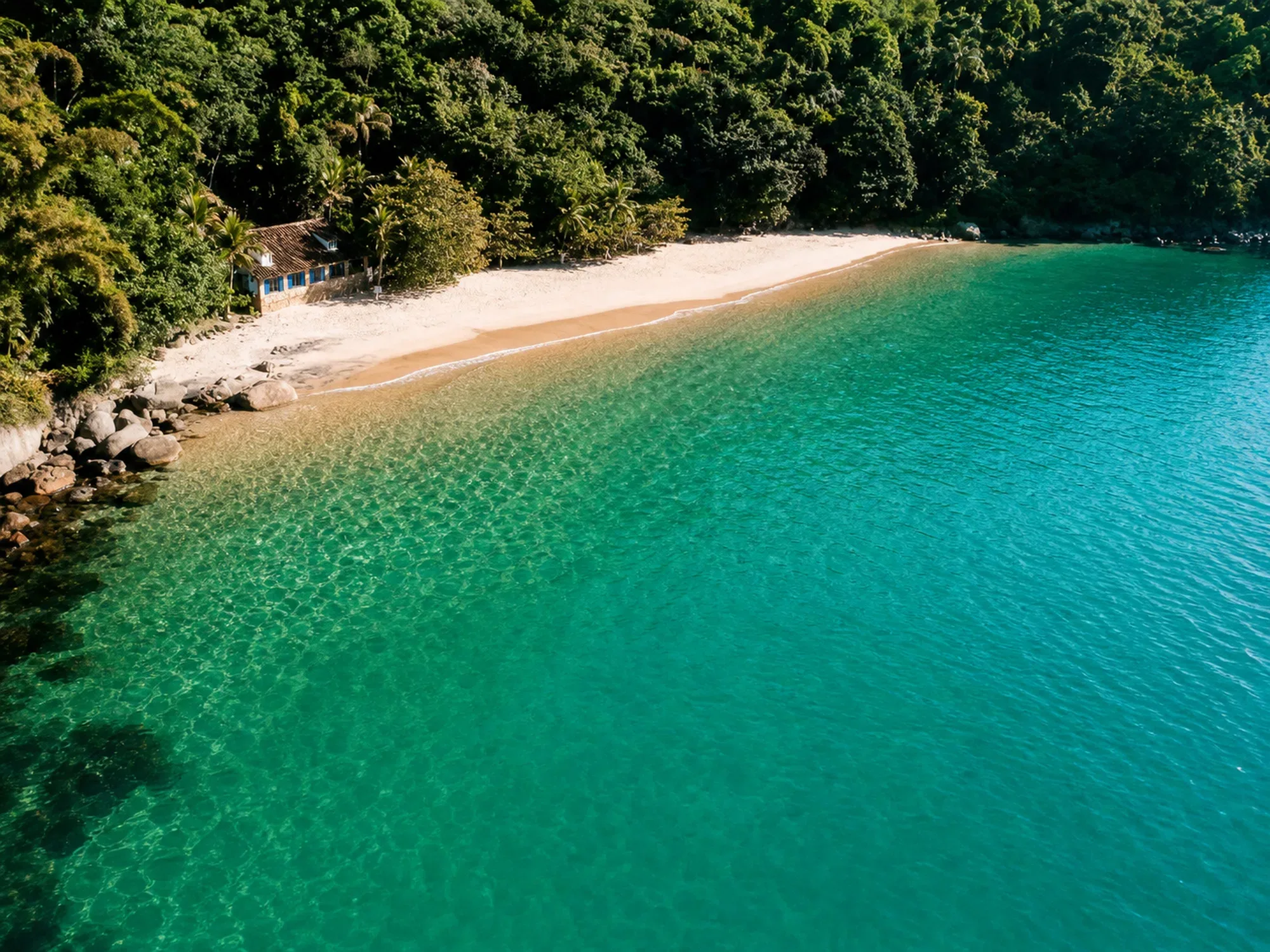
Lula Beach
Beaches
Boat
4.6 km
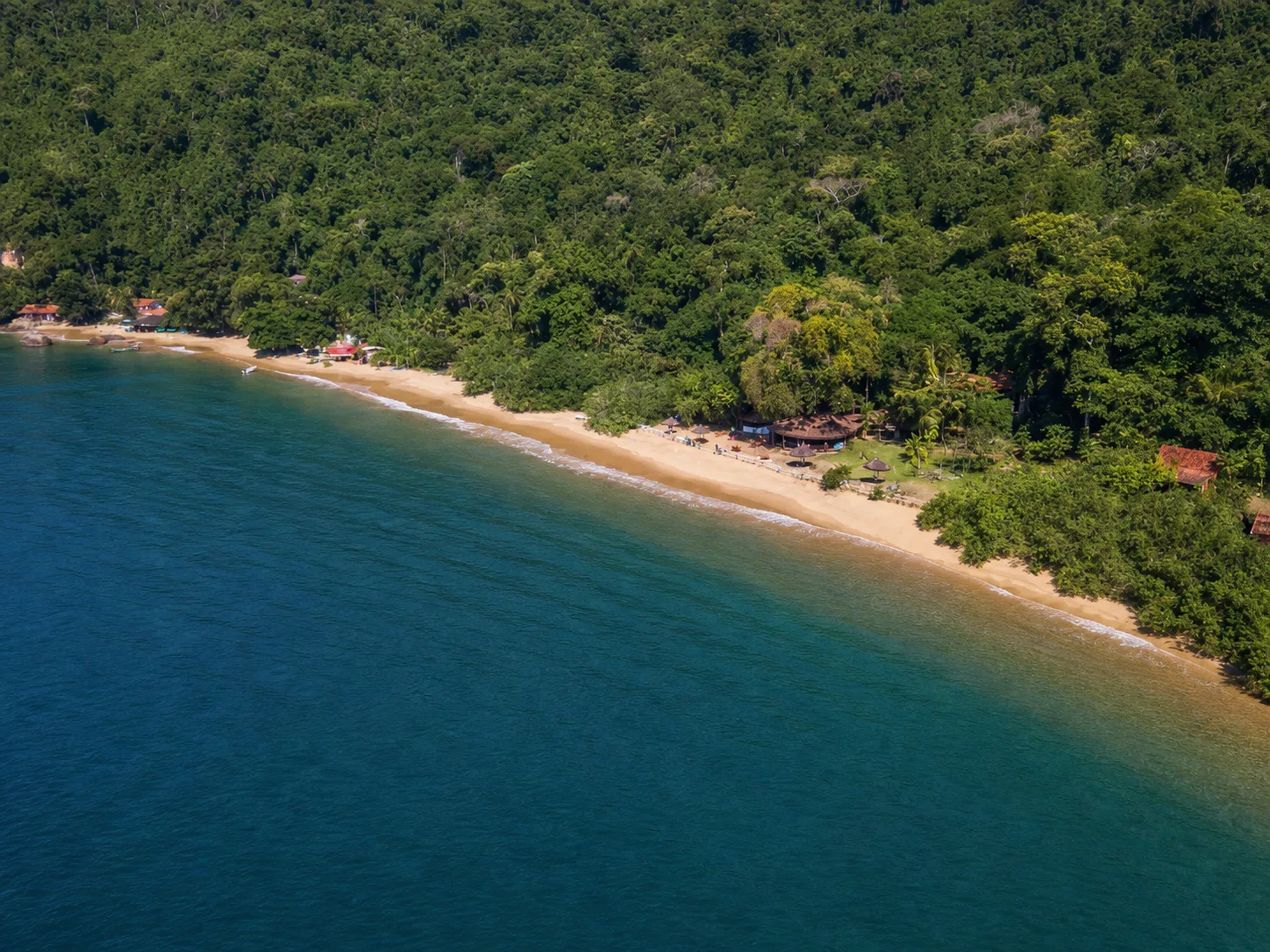
Vermelha Beach
Beaches
Boat
4.8 km
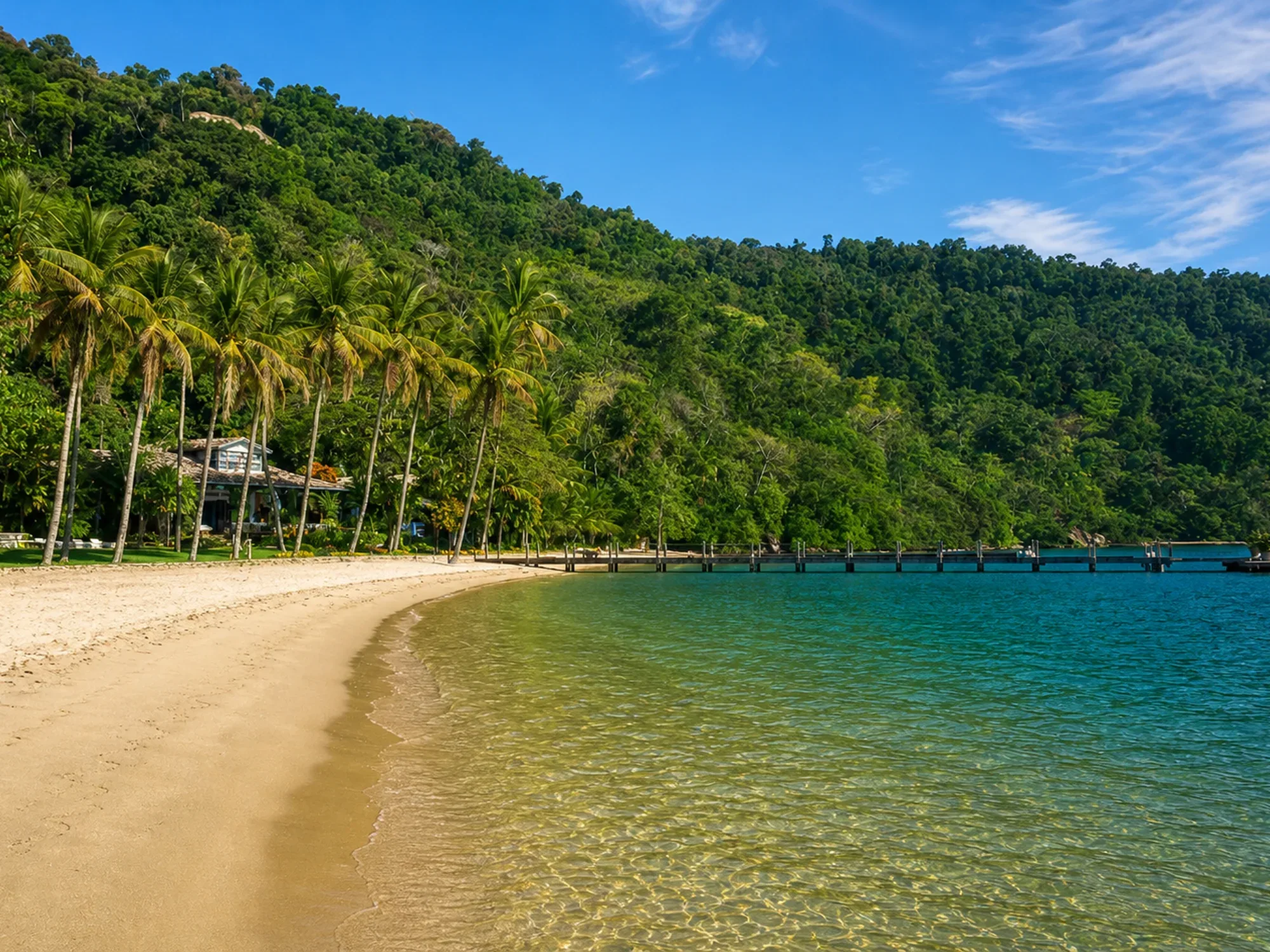
Bom Jardim Beach
Beaches
Boat
4.9 km